Sego, Utah
Sego is the coal town that went through three names and was killed by almost everything except running out of coal. Tucked into a narrow, dry canyon on the southern scarp of the Book Cliffs, it began around 1908 as a wagon mine called Ballard, became the company town of Neslen in 1911, and finally took the name Sego in 1918 — for the sego lily, Utah’s newly chosen state flower, which bloomed along the canyon walls. For roughly half a century it dug a middling grade of coal, washed it in what was advertised as the first mechanical coal washer west of the Mississippi, and shipped it out on a short, flood-prone railroad of its own.
What finally undid Sego was a stack of problems rather than a single bust: a canyon that never had enough water to run the washer yet flash-flooded its railroad away; equipment fires; chronic low pay; and, at the end, the diesel locomotive, which erased the one market its sub-bituminous coal could reliably serve. When the company failed in 1947, the miners themselves bought the mine and kept it alive for several more years. This is the documented history of Sego, the legends worth separating from the record, and how to walk its ruins today — a short drive from one of the most remarkable rock-art canyons in the West.
Coal in the Book Cliffs: Ballard, Neslen, Sego
The deposit was found the way a lot of Western mines were — by someone looking for livestock. Around 1908 Henry G. “Harry” Ballard, an English immigrant rancher and co-founder of nearby Thompson Springs, noticed coal outcrops along the canyon walls while tracking stray stock. He quietly acquired the ground, opened a primitive wagon mine, and sold fuel to homesteaders, sheep camps, and ranches across northern Grand County. He incorporated the Ballard Coal Company under Utah law in January 1911, and the first camp simply took his name.
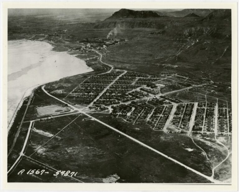
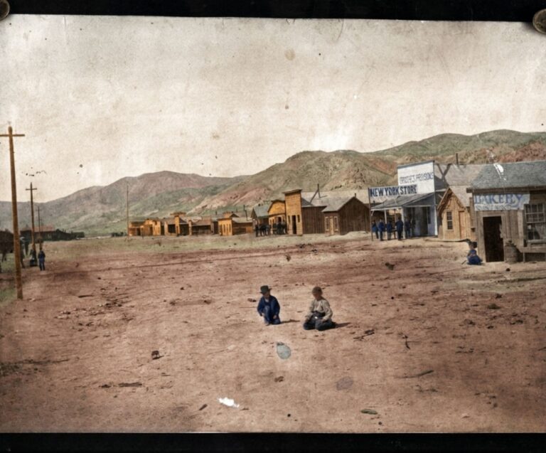
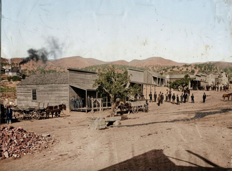
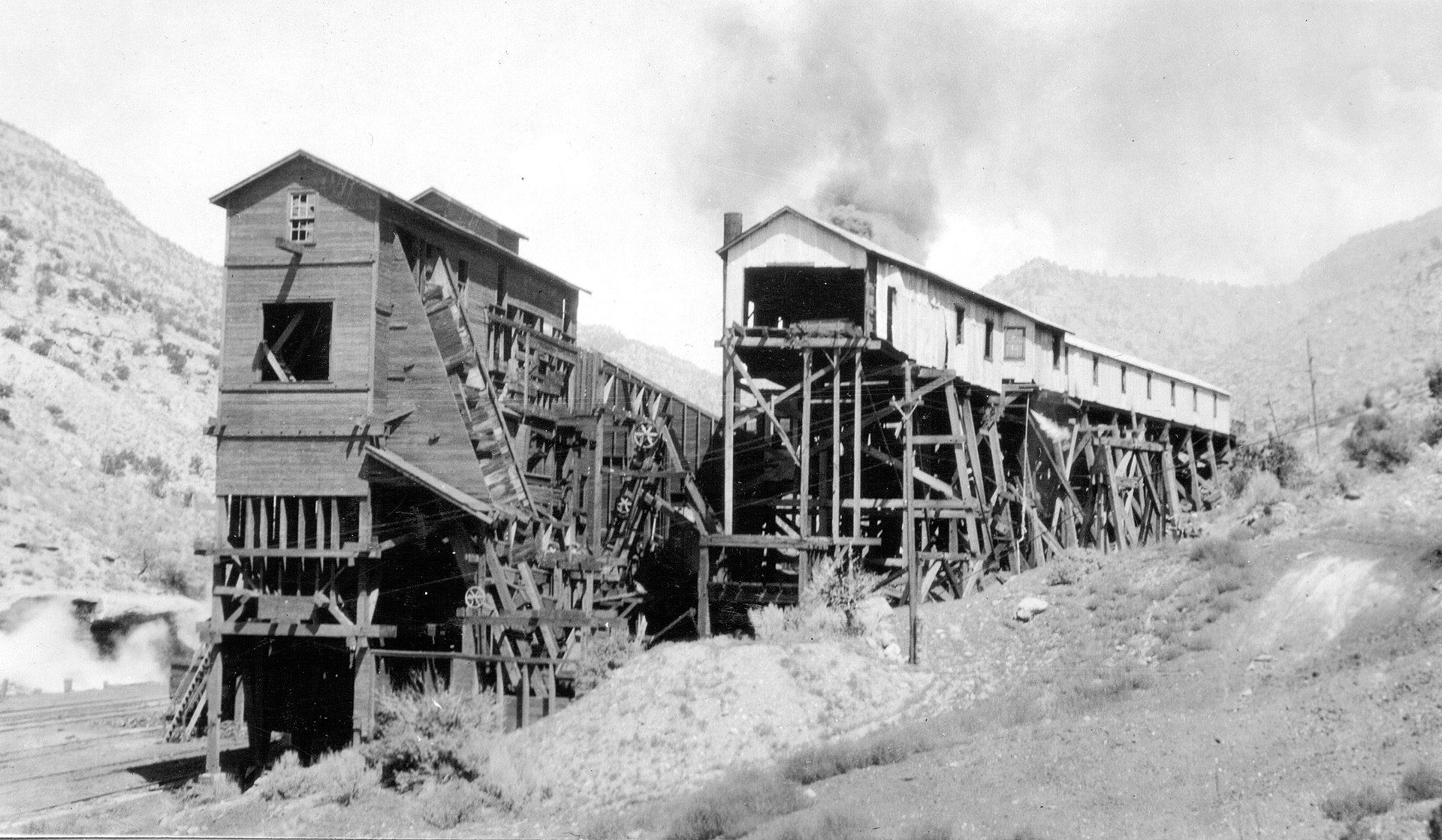
Turning a wagon mine into an industrial operation took outside capital. In 1911 Ballard sold out to Benjamin F. Bauer, a Salt Lake City financier and Salt Lake Hardware executive, who organized the American Fuel Company and appointed mining engineer Richard F. “Dick” Neslen as general manager — renaming the platted townsite Neslen in his honor. American Fuel put real money into the canyon: a modern timber coal tipple, a centralized townsite with a two-story sandstone mercantile, a boarding house and standardized wooden houses, and a mechanical coal washer to strip the shale impurities that held Sego coal back commercially. When the railroad reached the camp in 1912, the federal government opened the Neslen post office on August 22.
The early operation struggled with money and water, and labor paid for it: after a strike in 1915 over months of withheld pay, the company cut wages. Investor frustration pushed Bauer to dismiss Neslen in 1916, and in 1918 the company renamed the town one last time — Sego, for the sego lily (Calochortus nuttallii) on the canyon walls, shedding the troubled Neslen-era name.
The Ballard & Thompson Railroad
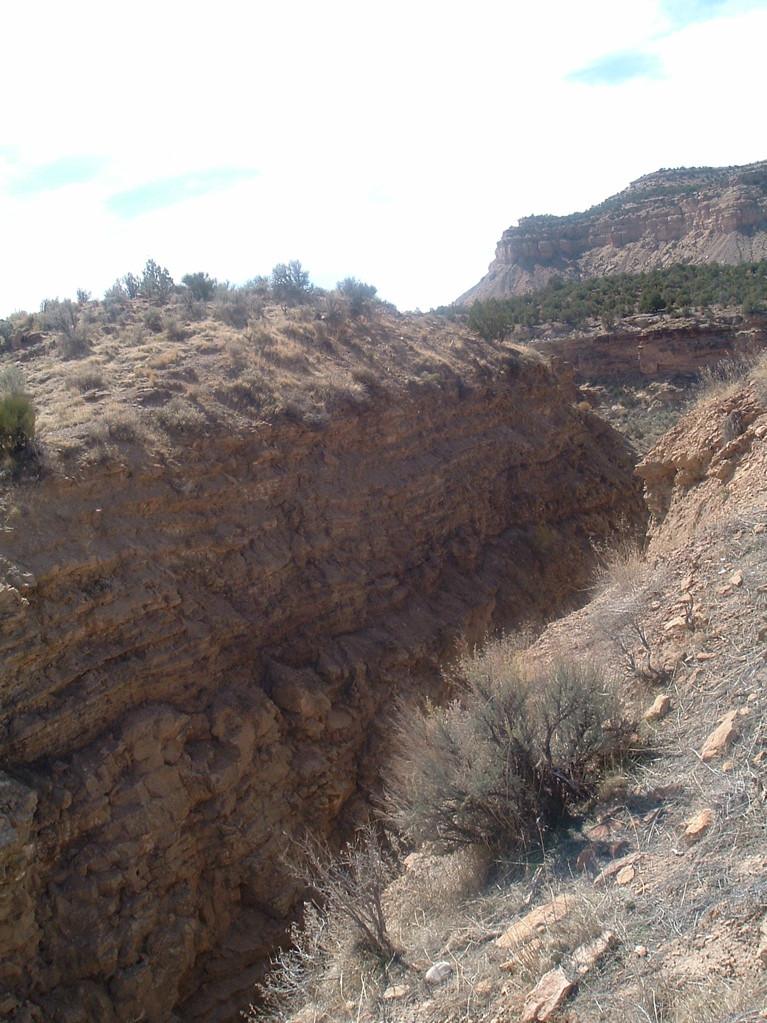
Sego could barely have existed commercially without a rail link, and its railroad had a corporate identity of its own. Organized on July 15, 1911 as the Ballard & Thompson Railroad — with Bauer as president and Ballard as first vice president — the standard-gauge branch was graded beginning in May 1912 and completed into the mine by late October 1912. The roughly 5.25-mile line climbed from the Denver & Rio Grande mainline at Thompson Springs up the winding bed of Sego Wash at a sustained four-percent grade, crossing the active drainage some thirteen times on single-span timber trestles and pile bridges. A reversing wye at Thompson Springs turned the steam locomotives.
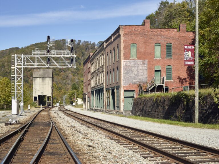
The branch never owned much rolling stock; the D&RG leased and operated it from 1913, running it as a switching job between Grand Junction, Colorado and Price, Utah. For passengers and mail the coal company ran a single gasoline-powered rail motor car that stopped right in front of the Sego schoolhouse — and frequently interrupted class. The line was plagued by its own geography: sharp curves and light rail caused regular derailments, and flash floods repeatedly washed out trestles, severing the mine from the mainline until new pilings could be driven into the unstable wash gravels. Railroad paperwork after May 1948 even referred to the route as the “Neslen Spur,” preserving the town’s old name decades after it had become Sego.
Peak years and a diverse camp (1920s–1930s)
After a brief pass through the Pacific Steamship Company, the operation was reorganized on June 1, 1925 as the Chesterfield Coal Company, run jointly by the Bauer estate and Salt Lake Hardware associates. The interwar years were Sego’s most stable period. Extraction ran roughly 600 to 800 tons per day — on the order of 100,000 tons a year — dispatching five or six loaded coal cars daily; a 1938 D&RGW report records 58,797 tons produced in 1937, about 1,176 carloads. The town built out an enlarged schoolhouse, social halls, electrical service, and terraced gardens, and in 1933 the workforce unionized under the United Mine Workers of America, ending company scrip and mandating standardized cash wages.
Sego mattered more than its size suggests. Utah’s State History Board later called the Ballard–Sego complex one of only three Utah coal mines outside Carbon County, and one of the state’s best-preserved early coal-mining landscapes — in part because of its unusually mixed housing: standardized company houses standing beside privately built miners’ cabins and dugouts carved straight into the soft Mancos shale of the canyon walls. The workforce was strikingly diverse for the Intermountain West — Italian, Greek, Austrian, Slavic, Japanese, African American, and Anglo-American miners and their families — and the long-lived Japanese community in particular is one reason the historic district is valued today.
Too little water, and too much
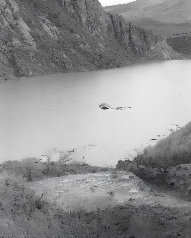
Sego’s central problem was hydrological, and it cut both ways. Recovering and washing coal and raising steam for the boilers all demanded substantial industrial water, but through the 1910s and 1920s the local water table fell steadily; springs dried up and Sego Wash ceased to flow in summer, periodically forcing the mechanical washer to shut down entirely. Domestic water had to be hauled or drawn from low-producing wells, which put a hard ceiling on how large the town could ever grow.
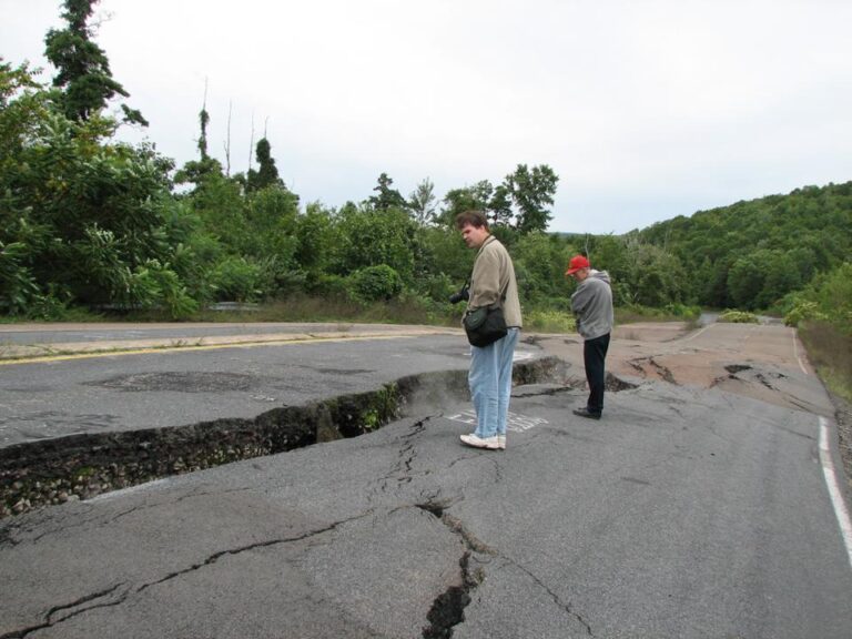
And yet the same bare slickrock that starved the canyon in drought could flood it in minutes. Summer cloudbursts over the Book Cliffs funneled high-velocity runoff into the narrow wash, and the railroad’s thirteen crossings made it exquisitely vulnerable: surges tore out timber trestles and track embankments again and again. A destructive flood in the 1950s cut through the remaining residential core, undermining dugouts and depositing boulders and mud across the townsite.
Fires, dieselization, and the miners’ buyout (1947–1955)
The final decline was driven by markets and machinery. Sego’s coal was a resinous, high-volatile sub-bituminous-to-bituminous fuel — serviceable for raising steam, but roughly ten percent inferior to the metallurgical coking coals of the Carbon County fields, which tied its commercial existence to railroad locomotive consumption. In 1936–37 the D&RGW bought on the order of 65 percent of the mine’s output to fire its steam fleet. As the railroad dieselized between 1948 and 1953, that captive market evaporated. With its primary customer gone, the Chesterfield Coal Company ceased operations on November 1, 1947.
What happened next is Sego’s best-known story. The local workforce had been cut from about 125 men to 27. Rather than walk away, the remaining miners pooled their savings, secured bank backing, and bought the Chesterfield mine, townsite, and mineral rights at a sheriff’s auction at the Grand County Courthouse in Moab for roughly $30,010, reorganizing as the Utah Grand Coal Company with longtime Italian-immigrant miner Walter Ronzio as general manager. Its first year as a worker-owned colliery was profitable — a group of miners taking over their failed employer and keeping the mine alive.
It couldn’t last. A fire on July 1, 1949 destroyed the main timber coal tipple, crippling sorting and loading; a second fire in 1950 damaged ancillary structures and power units. In early 1950 the D&RGW, facing minimal tonnage and recurring flood damage, exercised its option to pull the 5.25 miles of rail. The miners built a heavy timber truck-loading ramp beside the mainline at Thompson Springs and hauled coal down the canyon road by dump truck — but rising haulage costs, the 1950 fire losses, and the vanished steam-coal market forced Utah Grand to close for good in early 1955. In February 1955 the property was sold to the Seaburg Brothers for oil and gas speculation, and in 1956 the D&RGW took up the last of the railroad right-of-way.
What survives
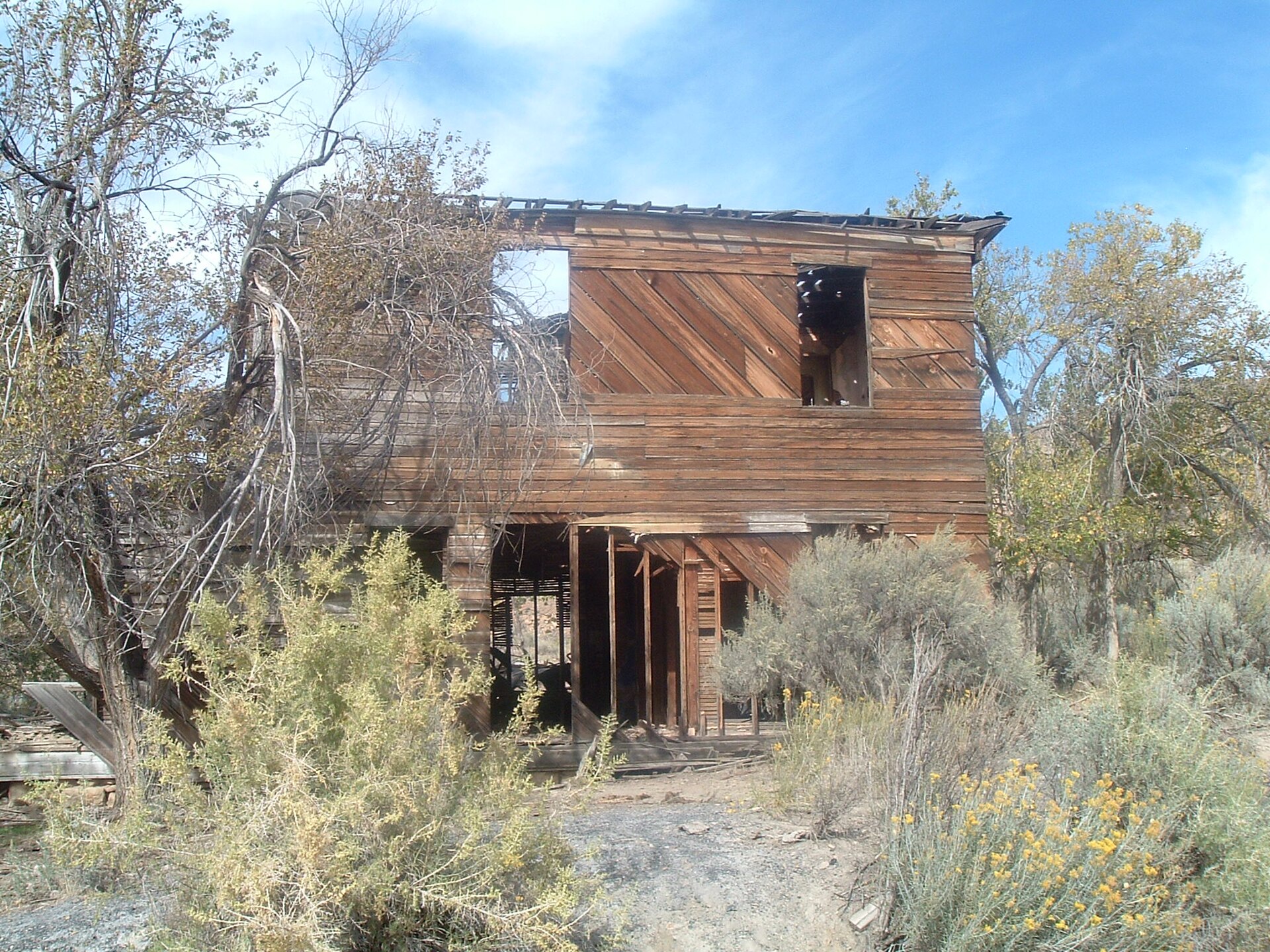
On October 13, 2017 roughly 5,280 acres of the canyon floor and historic workings were listed on the National Register of Historic Places as the Ballard-Sego Coal Mine Historic District (Ref. No. 100001335). The most prominent survivor is the American Fuel / Chesterfield company store, built of dressed, coursed sandstone: the exterior stone shell still stands, though the wooden interior framing, upper floor, and roof have long since rotted and collapsed. The two-story frame boarding house — once the largest wooden building in Sego — finally gave way to rot and scavenging, collapsing into a heap of weathered timber and corrugated iron around 2009–2010.
Across the canyon, dugout sites remain visible along the shale talus, marked by dry-laid stone portal walls, collapsed lintels, and subterranean hollows that show how the earliest immigrant miners lived. Industrial remains include collapsed mine adits, shaft collars, waste-rock dumps, and the scarred concrete footings of the destroyed 1949 tipple and power plant. Substantial stretches of the Ballard & Thompson grade survive along Sego Wash — including a hand-drilled rock cut at the junction of Sego and Thompson canyons and the remains of timber trestles — and in Thompson Springs the heavy timber loading ramp the miners built in 1950 still stands beside the tracks. On an elevated bench south of the townsite, the Sego Cemetery preserves carved headstones, folk wooden markers, and wrought-iron family plots that record infant deaths, mining accidents, and the camp’s mix of backgrounds.
Timeline
Visiting Sego now
Sego sits largely on public land managed by the BLM Moab Field Office, interspersed with private inholdings, and it’s free to visit — but it is a raw, un-reclaimed industrial site at the end of a dirt road, not a developed park. The reward is a two-for-one trip: the same canyon holds the famous Sego Canyon rock-art panels, passed on the way in.
Nearby ghost towns & historic sites
For more mining and railroad ghost towns on the archive, see Silver Reef, Bingham Canyon, and Terrace.
Further reading
Sources:
Ballard-Sego Coal Mine Historic District, National Register of Historic Places (listed Oct. 13, 2017; Ref. No. 100001335) — npgallery.nps.gov.
Bureau of Land Management, Moab Field Office — Sego Canyon / Ballard-Sego district visitor and land-management information, blm.gov.
Don Strack, “Sego Coal Mine — Ballard & Thompson Railroad,” utahrails.net.
Richard A. Firmage, A History of Grand County (Utah Centennial County History Series, 1996); “Sego, Utah,” en.wikipedia.org.
D. Jerome Fisher, The Book Cliffs Coal Field (USGS Bulletin 852, 1936); Canyon Legacy, Dan O’Laurie Museum of Moab.
Photo credits: Company store (hero) and the Ballard & Thompson rock cut: Davemeistermoab — CC BY-SA 3.0, via Wikimedia Commons. Historic 1926 tipple: USGS — public domain.