Caribou, Colorado: The Windswept Silver Camp Above Nederland
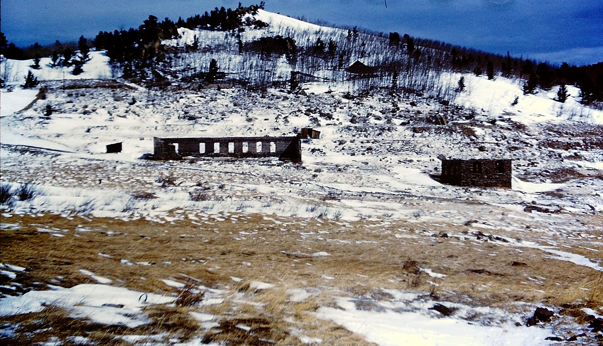
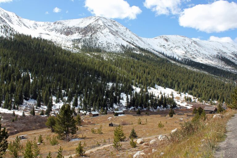
Caribou is one of the easiest high-country ghost towns near Denver to reach, a silver camp on a bare ridge about 5.5 miles above Nederland and close to 10,000 feet up. Silver was found here in 1869, the townsite was surveyed in 1870, and by the mid-1870s Caribou had hotels, saloons, a school, a newspaper and, by some estimates, as many as 3,000 people, many of them Cornish miners. Its famous mine was sold to Dutch investors in 1873 and lost them a fortune. Fire, disease, the silver crash of 1893 and the wind that miners said was born here wore the town down, and its post office closed in 1917. Today two stone ruins, a collapsed cabin, mine dumps and a hillside cemetery remain, at the end of a dirt road that most cars can drive in summer.
The strike on Caribou Hill
Gold seekers organized the Grand Island Mining District in the high country west of Boulder in 1861. Sam Conger, a hunter and prospector, is said to have noticed silver-bearing rock on the ridge while hunting there in the early 1860s. Silver was hard to sell in the Colorado mountains then, with no nearby smelter and no road, so the find sat for years.
On August 31, 1869, Conger came back with a party of partners, William Martin, George Lytle, Hugh McCammon, Samuel Mishler and John Pickel, and located the Caribou and the Poor Man lodes. Martin and Lytle stayed through the bitter winter to hold the claims, and the Caribou was recorded on December 23, 1869. It later became the first patented mining claim in Boulder County.
The name came from Lytle. According to a 1944 history in the state’s Colorado Magazine, he had been in the Cariboo gold diggings of British Columbia, and the ridge reminded him of them.
A camp on the ridge
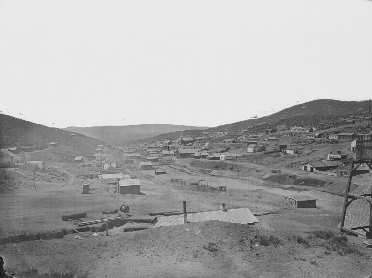
Miners poured in during the spring of 1870, living in tents and brush shelters at first. A townsite was surveyed in September 1870, and an 1871 directory counted about 400 people. The post office opened on January 31, 1871, and a newspaper, the Caribou Post, ran from 1871 into 1872.
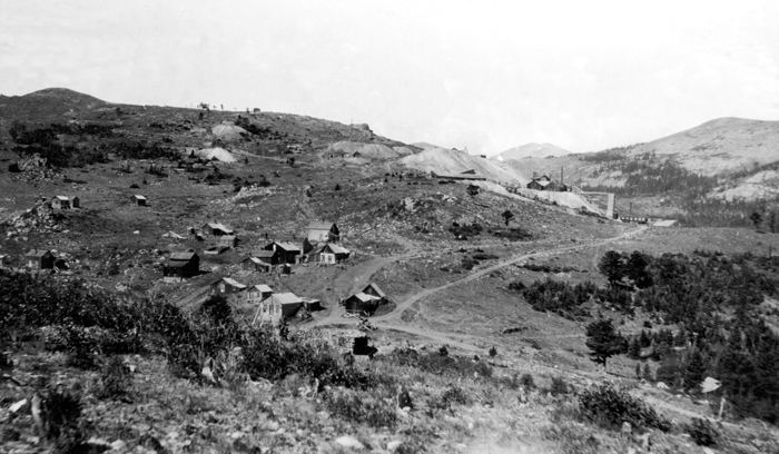
Caribou never got a railroad, and its windswept crest had little water and no flat ground for big mills, so ore went 2,000 feet down the mountain to mills at Middle Boulder, the future Nederland. Up on the ridge the town grew into a real community, with the three-story Sherman House hotel, boarding houses, three saloons, a brewery, stores, a church and a school.
Most of the miners were Cornish. Silvia Pettem, a Nederland historian, estimates that about 60 percent of the early camp came from Cornwall, and in the 1880 census 215 of Caribou’s 549 people were from the British Isles. Cornish miners brought deep hard-rock skills, and the town they built was known as orderly. Historian Duane A. Smith, in his book Silver Saga, found that Caribou had little crime and no bank, and that it stayed fairly peaceful through its boom.
The Dutch and the Caribou mine
Abel Breed bought the Caribou mine in 1871 and worked its rich upper ore. Caribou silver was shown at the 1876 Centennial Exposition in Philadelphia, and specimens went to the British Museum.
In April 1873 Breed sold the mine and its mill to a Dutch firm, the Mining Company Nederland of The Hague, for a reported $3 million, about half of it in stock. The Dutch put money into pumps, hoists and mills, but the ore grew poorer at depth, silver prices fell and the company struggled. The mine went into foreclosure in 1875, and on September 15, 1876, the sheriff sold it to Jerome B. Chaffee, a mining promoter who soon became one of Colorado’s first U.S. senators. He held it with Denver banker David H. Moffat. Years of lawsuits followed, and the mercantile agency owner R. G. Dun later held an interest.
The Dutch left one lasting mark. Their mill town on Middle Boulder Creek became known as Nederland, Dutch for “low land,” and it was incorporated under that name in 1874.
Fire, fever and the silver crash
1879 was Caribou’s worst year. In the summer, diphtheria swept through the families on the ridge; in July three children of the Richards family died within four days. That September a fire burned the mine buildings and about 40 houses and cabins. Scarlet fever also took children in these years.
The town shrank from there. Miners left for Leadville’s bigger silver boom, and the gold strikes around Eldora in the 1890s pulled more people down the mountain. According to the U.S. Geological Survey, the Caribou area produced about $6 million in silver and lead before 1924, most of it before 1893, when the Silver Panic closed most of the mines. Another fire swept the town in 1899, and a third, in 1905, destroyed most of what was left. The post office closed on March 31, 1917.
Where the winds are born
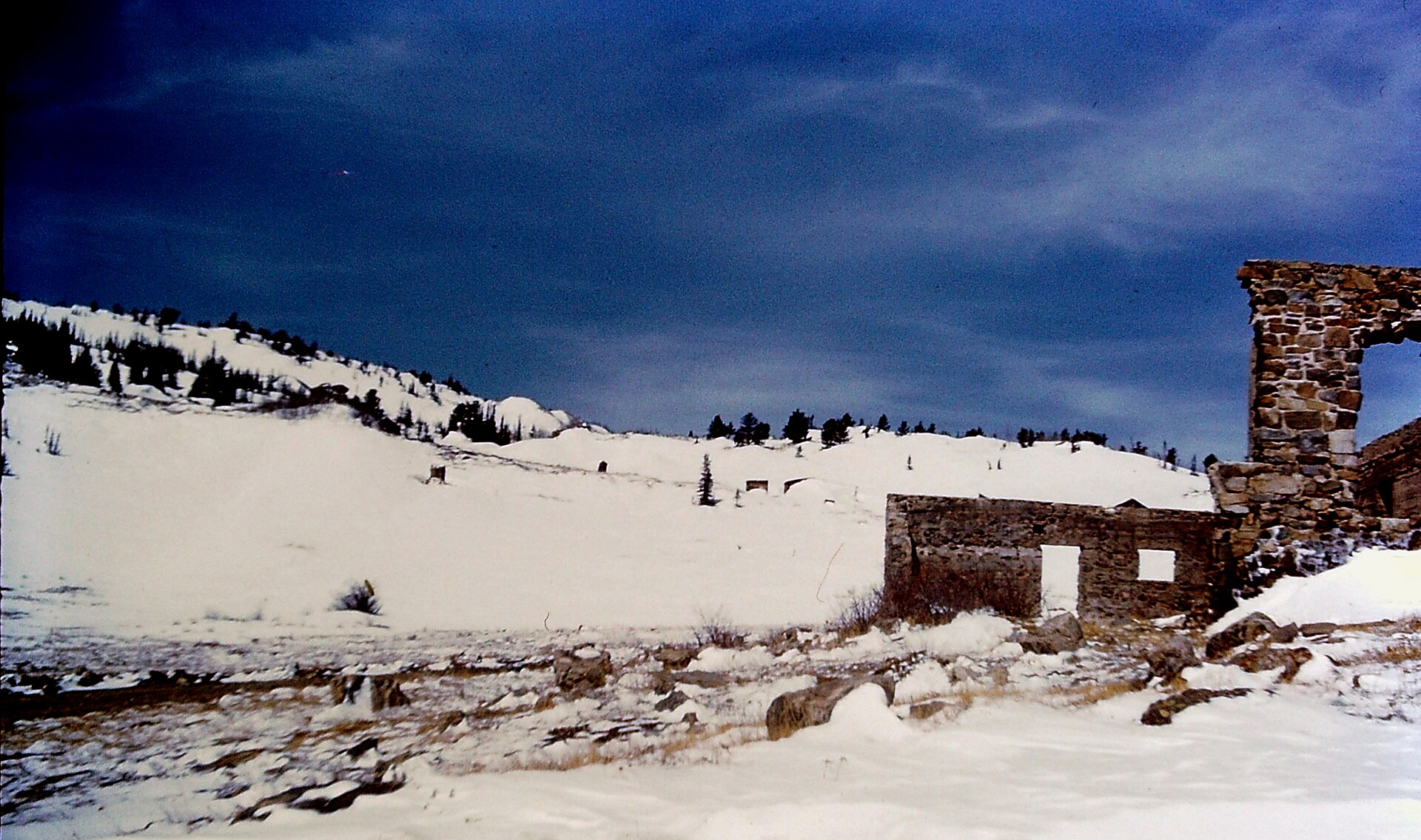
Caribou sits on an open ridge just east of the Continental Divide, and its weather was legendary. Miners said Caribou was “where the winds were born,” according to the 1944 history, and winter drifts buried cabins to the eaves. The cold reached even the dead. The ground on the cemetery hill is thin over granite and frozen much of the year, so graves were often blasted open with dynamite, and winter burials sometimes waited for spring.
The uranium chapter
Mining never fully stopped. In the 1940s Consolidated Caribou Silver Mines reopened the old Caribou workings, and in 1948, while reopening the mine’s deep 1040 level, miners found pitchblende, a uranium ore. U.S. Geological Survey geologists studied the area through the early 1950s and published their findings in 1957, but the uranium came in small, scattered pockets and never paid. A local miner, Tom Hendricks, worked the old mines again from the 1970s, and the Caribou and Cross mines are still held by a mining company today.
The Caribou Cemetery
On a windy hillside north of the old town lies the Caribou Cemetery. Its first known burial was William Hicks, a 27-year-old Cornish miner killed by an exploding cartridge underground, buried on August 28, 1875. Many of the graves belong to children, among them the victims of the 1879 diphtheria outbreak. Only a few markers survive; most stones and iron fences were broken or carried off over the years.
The cemetery has been cared for again in recent years. The landowner began clearing trees in 2019, and the Friends of Caribou Cemetery, formed in the winter of 2022 and 2023 with the Nederland Area Historical Society, held volunteer work days through the fall of 2023. Tom Hendricks, the miner who worked Caribou in its last chapter, was buried there in 2020.
Folklore and loose ends
Like most mining camps, Caribou picked up stories that are hard to pin down. One mining history says the town’s leaders pushed gambling and brothels down the hill to Cardinal, a smaller camp about a mile below. Smith’s research supports the idea that Caribou itself had little vice, but the story of a formal expulsion comes from later retellings. Ghost town websites also say Conger learned of the silver from Arapaho people; no early record says so.
Caribou’s name also lives on at Caribou Ranch, a few miles away off County Road 126. A famous recording studio operated on the ranch from 1971 until a fire in 1985. The ranch land is now a Boulder County open space, and it is a separate place from the ghost town.
What remains
Caribou is a ruin more than a town. What you see from the road and parking area:
The stone ruins. Two roofless stone building shells stand just below the parking area. Accounts differ on what they were. Some say the Sherman House and an assay office; one county history says a store rebuilt in 1928 and an old billiard hall.
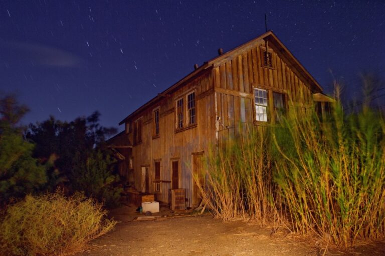
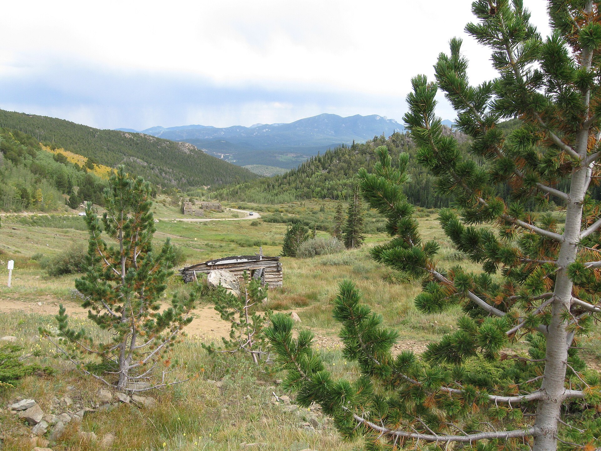
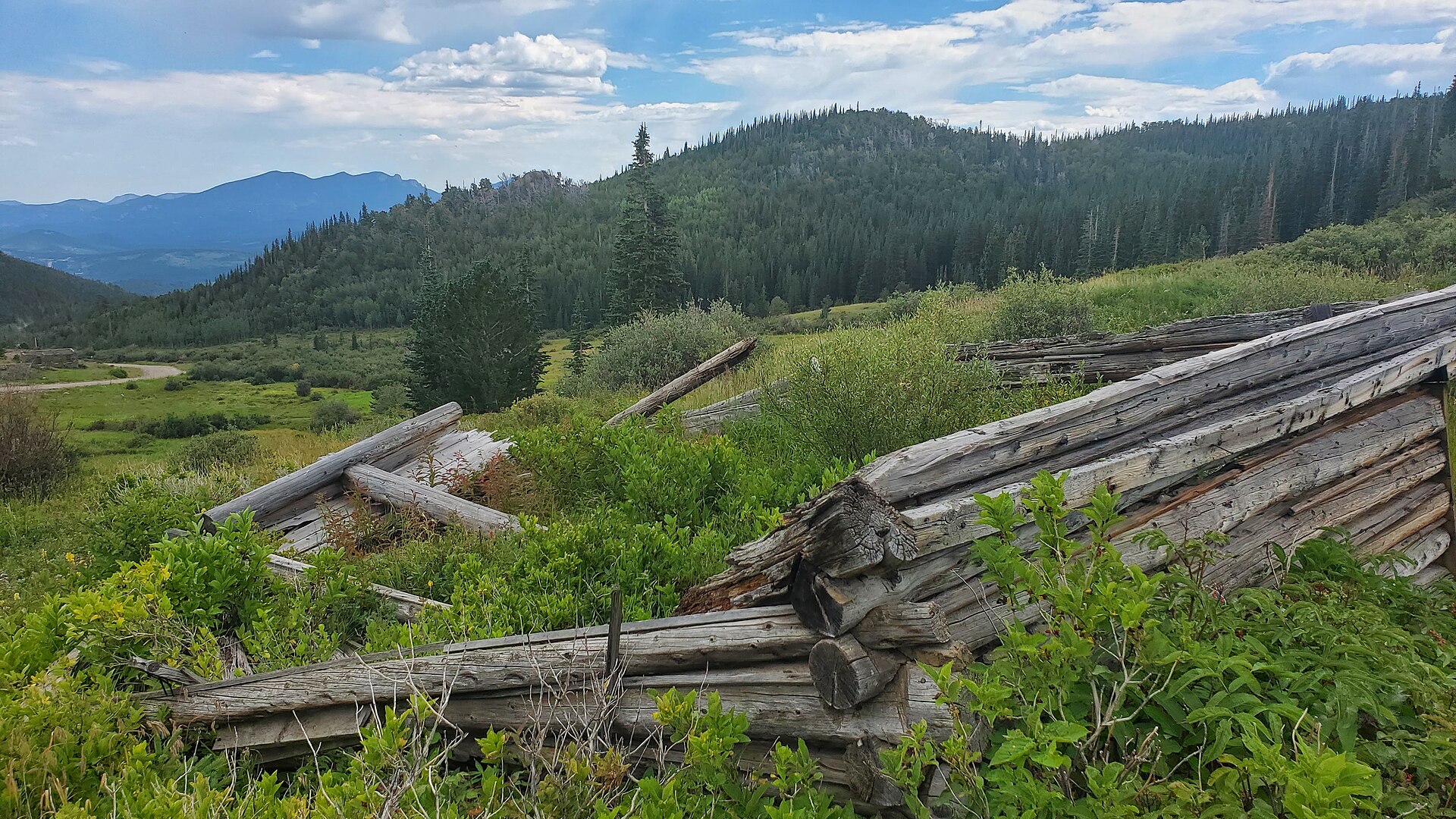
A collapsed cabin. Grey logs of an old cabin lie in the brush near the townsite, and the William Bryant cabin still stood in the meadow in 2012.
Mine dumps. Big waste piles, a mill foundation and old shafts mark the Caribou, Poor Man and other mines on the hill. These are private claims.
The cemetery. About half a mile uphill to the north, on private land.
Timeline
Historic sites nearby
Further reading
Sources
History Colorado — The Colorado Magazine, November 1944; U.S. Geological Survey — Bulletin 1030-N
Boulder County — Blue Bird Mine cultural resource report and Caribou Ranch Open Space; Town of Nederland — History
U.S. Forest Service — Caribou Dispersed Camping Area and Caribou Road closure order
The Mountain-Ear — Discovery of the great Caribou silver lode, The story of the Caribou Cemetery and Caribou Cemetery season finale
Silvia Pettem — Caribou Cornish Miners; CoGenWeb — Caribou and Caribou Cemetery
Western Mining History — Caribou; 4x4explore — Caribou road guide; Wikipedia — Caribou, Colorado
Photos: Robert W. McLeod, stone ruins, ruins in winter and William Bryant cabin, CC BY-SA 4.0; D&RG Railfan, collapsed cabin, CC BY 3.0; E. S. Bastin, U.S. Geological Survey, Caribou about 1911, public domain; via Wikimedia Commons