Ruby, Arizona: The Border Mining Town Eagle-Picher Built and Left Behind
Fifteen miles of pipe once carried river water across a mountain range so that a lead-and-zinc camp four miles from the Mexican border could keep its mill running. When the ore ran out, the company carried the town away too — but the concrete, adobe, and stone stayed behind.
Ruby at a Glance
- Location
- Santa Cruz County, southern Arizona
- Founded
- 1870s as Montana Camp; renamed Ruby 1912
- Peak
- 1,200–2,000 residents (1934–1937)
- Industry
- Gold and silver, then lead, zinc, and copper
- Abandoned
- 1941, after the Montana Mine closed
- Elevation
- ≈4,186 ft (1,276 m)
- Status
- Private property — closed to the public since June 2024
Ruby sits in a fold of the Pajarita Mountains in far southern Arizona, tucked into a mining belt that straddles Santa Cruz and Pima counties only a few miles north of the international line. For a few years in the 1930s it was one of the most productive mining centers in the state; for most of its life before and since, it was a remote outpost where isolation shaped nearly everything — how ore got milled, how the town got its water, how it enforced its laws, and how it emptied out almost overnight.
The place began in the 1870s as a scatter of prospectors’ tents and shacks known as Montana Camp, worked for shallow gold and silver in the Oro Blanco district. A general store and post office anchored the settlement, and in 1912 the post office was formally established under the name Ruby, chosen for Lille B. Ruby Andrews, wife of the storekeeper Julius Andrews. For its first several decades the camp stayed small, rarely holding more than a couple hundred people. Everything changed when a large industrial mining company decided the deep ore was worth going after.
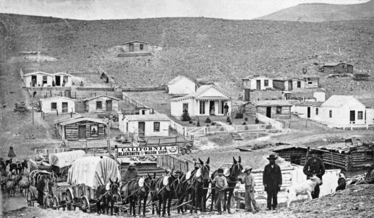
Those early decades left their own thin record. Prospectors such as George Cheney and Julius Andrews worked the surface diggings, and the settlement grew slowly around a general store and, after 1912, a post office. Julius Andrews and later Philip M. Clarke ran the mercantile that served as the camp’s commercial heart — the same store whose isolated position would soon make it the setting for the violence that gave Ruby its darkest chapter. Small water-catchment dams and an adobe store-and-post-office building were about the extent of the camp’s infrastructure before industry arrived.
The Eagle-Picher Years
In 1926 the Eagle-Picher Lead Company acquired the patent rights to the Montana Mine, betting that although the near-surface precious metals were largely worked out, deeper complex ore bodies still held commercial quantities of lead, zinc, and copper. The company was right, and over the next fourteen years it rebuilt Ruby from an isolated camp into a full industrial operation.
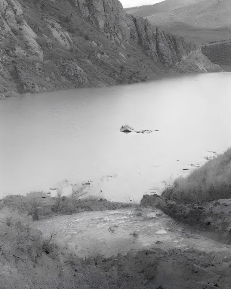
The hardest problem was water. The borderland ranges around Ruby get little rain, and milling ore is thirsty work, so the shortage had capped the camp’s output for decades. Eagle-Picher attacked the problem with engineering. It built catchment dams in the neighboring canyons to trap seasonal runoff, creating the reservoirs still known as Town Lake. When those proved unequal to a dry season, engineers laid roughly fifteen miles of pipeline over the mountains to pump water directly from the Santa Cruz River to the mine — an extraordinary investment for so remote a site.
With water secured, the company installed a modern 400-ton selective flotation concentrator mill, a heavy steam-powered hoist, an assay office, and machine shops. Underground, the workings grew into a network organized around a vertical main shaft that dropped about 750 feet, connecting six working levels and thousands of feet of horizontal drifts. From 1934 through 1937 the Montana Mine was Arizona’s leading producer of lead and zinc, and in 1936 it ranked third in the state for silver. Total production during the Eagle-Picher era topped ten million dollars.
A Town on the Hillsides
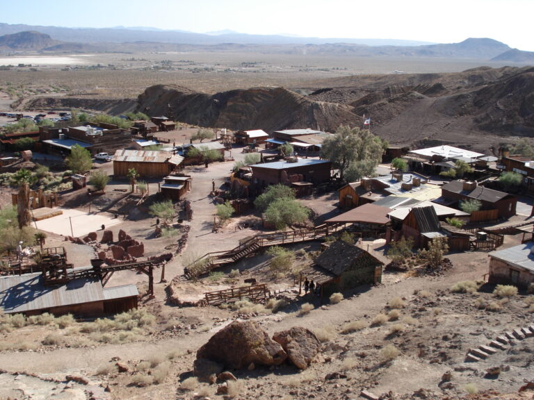
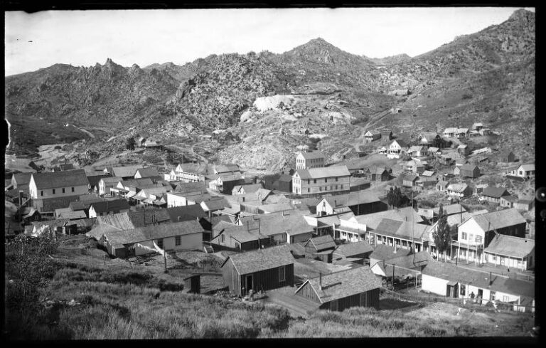
That production drew a rush of people. At its peak between 1934 and 1937, Ruby held an estimated 1,200 to 2,000 residents, with more than 350 miners working the Montana Mine around the clock. Because workers arrived faster than housing could be built, the town developed a distinct layout that mirrored its social order. Laborers and their families put up canvas-covered tents and wooden shacks on terraced stone pads cut into the hillsides above Town Lake, while managers, engineers, and office staff lived in permanent adobe and frame houses in an elevated neighborhood north of the school that residents nicknamed “Hollywood.”
The civic core matched a town of real size: a schoolhouse for as many as 150 students, a poured-concrete jail, an infirmary, the general store, and a confectionery called Case’s Place. For a few years, a place that had spent half a century as a struggling camp became a genuine industrial community with a payroll, a school bell, and a social geography written into the slope of the land.
Sudden Abandonment
The end came fast. As the commercial ore approached exhaustion, Eagle-Picher permanently closed the Montana Mine in 1940, stripped out the mill machinery, and liquidated its local holdings. The post office closed on May 31, 1941. Because the company held title to most of the houses, it dismantled the wood-frame and canvas dwellings and salvaged the materials for use elsewhere. With its economic foundation gone and its housing literally carried off, Ruby emptied within months. By the end of 1941 it stood abandoned, leaving behind only what was too heavy to move — masonry, concrete, and thick adobe walls.
The Ruby Murders
Ruby’s isolation near the border made it vulnerable to raids and lawlessness, and the town became widely known for two violent double homicides at its store and post office. In February 1920, storekeeper Philip Clarke hired brothers Alex and John Frazier to run the business. Bandits ambushed the store, killing Alex on the spot; John lived long enough to identify the attackers before he died, and officers killed one suspect during a later attempted arrest. The following year, on April 26, 1921, Frank Phearson and his wife Myrtle — who had taken over the store — were shot and killed during a daylight robbery by a group of armed men who then looted the premises.
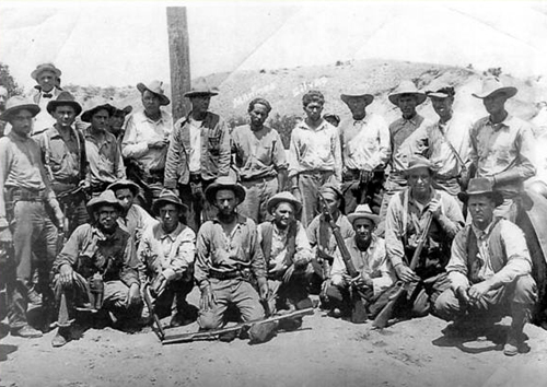
The killings triggered a response from county sheriffs, federal marshals, and Arizona Rangers that grew into what is often described as the largest manhunt in the history of the Southwest. It also marked a technological milestone: an airplane was used for aerial surveillance over the rugged border country, one of the earliest uses of aviation in an Arizona law enforcement operation.
Timeline
- 1870s
Prospectors work shallow gold and silver at Montana Camp in the Oro Blanco district.
- 1912
The post office is established as Ruby; the camp shifts toward base-metal exploration.
- 1920–21
The Ruby Murders — two double homicides at the store — spark the largest manhunt in Southwest history.
- 1926
Eagle-Picher acquires the Montana Mine and begins large-scale industrial development.
- 1930s
A 15-mile pipeline from the Santa Cruz River and a 400-ton flotation mill drive a boom.
- 1934–37
Ruby leads Arizona in lead and zinc output; population peaks near 1,200–2,000.
- 1940
Eagle-Picher closes the Montana Mine and dismantles the mill.
- 1941
The post office closes; salvaged houses are hauled off and the town is abandoned.
- June 2024
Ruby is permanently closed to the public by its private owners.
A Mine Full of Bats
After the people left, the mine filled with wildlife. The abandoned network of shafts, stopes, and drifts turned out to be an ideal shelter, and it became one of the region’s major nursery roosts for Mexican free-tailed bats. Seasonal monitoring counts somewhere between 150,000 and 200,000 bats living in the workings; on spring and summer evenings they pour out of the open mine entries in dense columns to hunt across Bear Valley. The surrounding private land is quiet enough that conservation groups’ wildlife cameras have recorded rare predators — including jaguars and ocelots — using the corridor that links the Pajarita and Santa Rita mountains.
What Remains Today
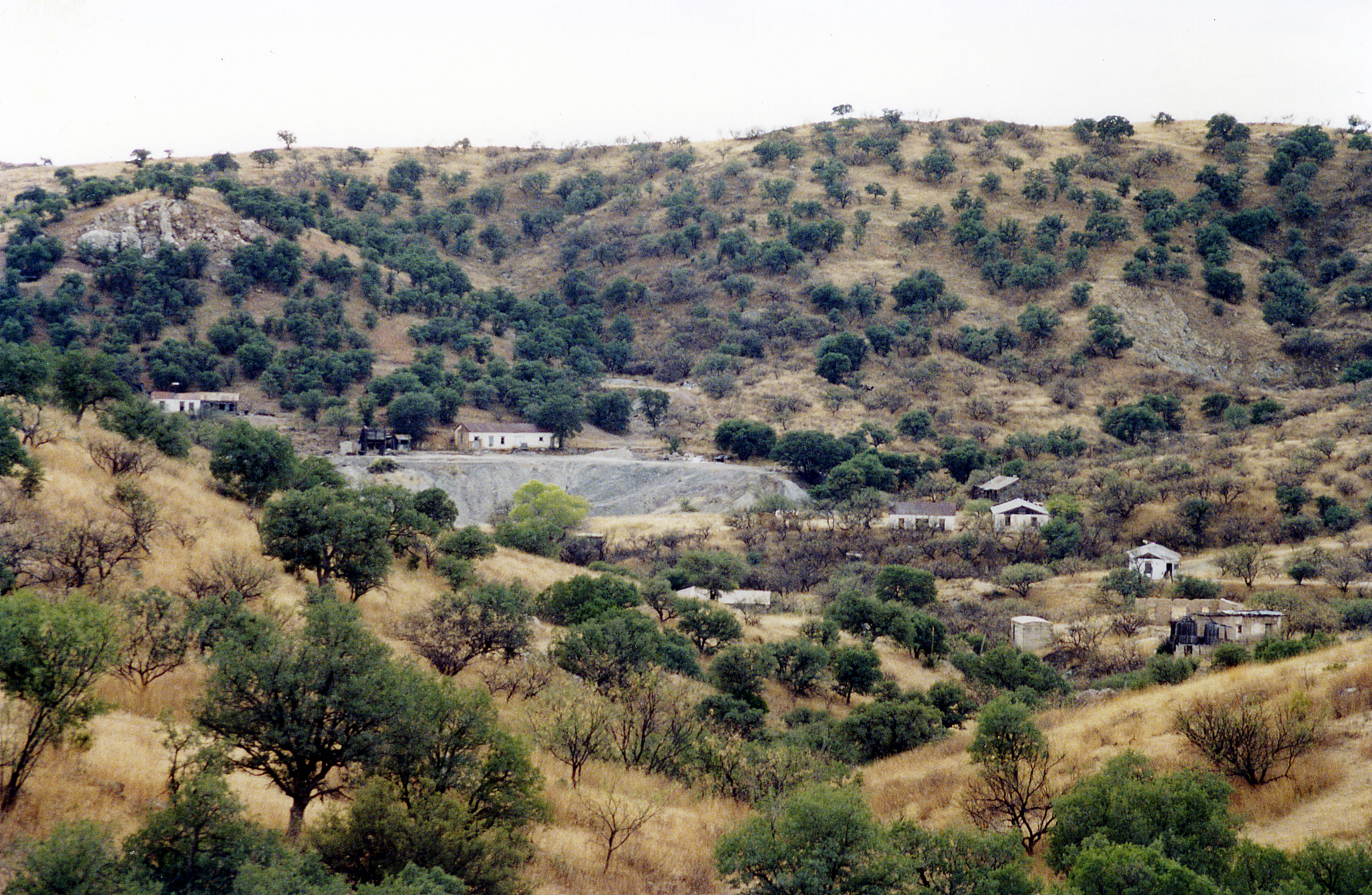
Industrial historians rate Ruby among the best-preserved ghost towns in Arizona, in a class with the Vulture Mine near Wickenburg. Roughly 25 roofed structures still stand across the 362-acre site, built of poured concrete, fieldstone, adobe, and timber frame.
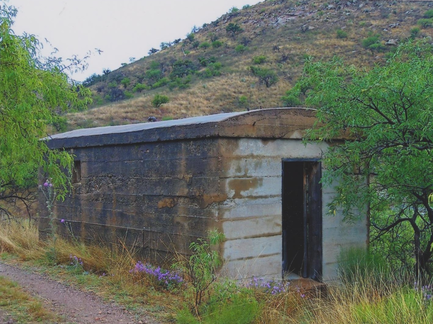
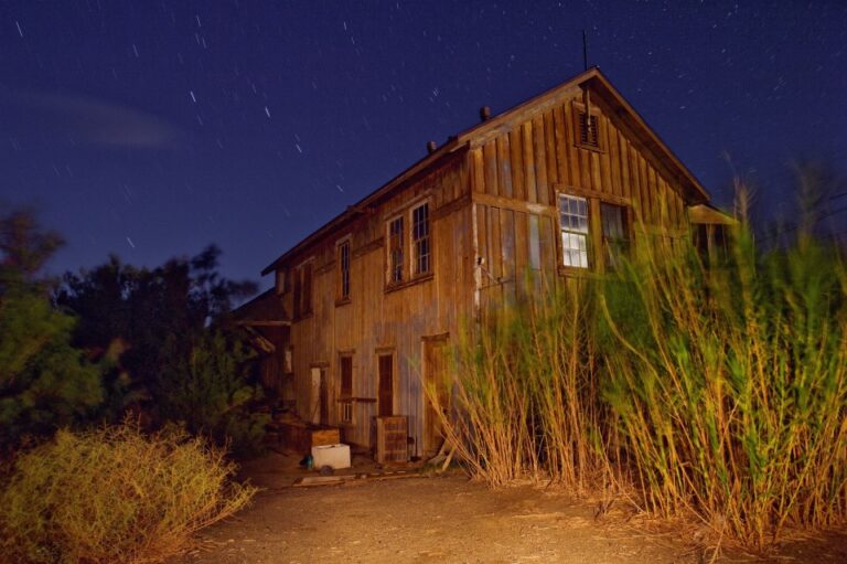
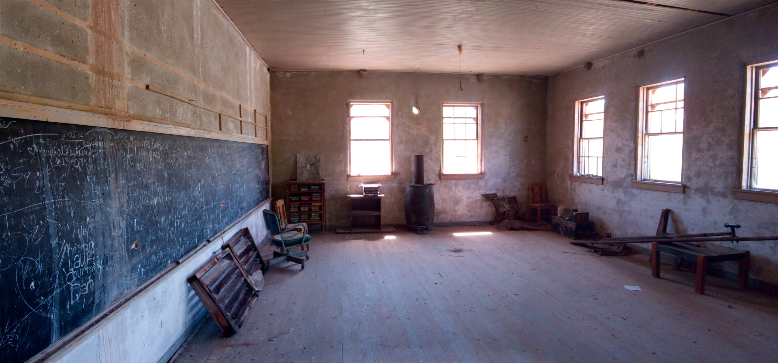
The schoolhouse, built in the 1910s and enlarged during the boom, is one of the best-kept buildings on site and once housed a small museum of photographs, core samples, and equipment. The 1936 concrete jail survives intact, as do the concrete foundations of the 400-ton mill, the headframe over the main shaft, steam hoist machinery, boilers, warehouses, and the assay office. The two Eagle-Picher reservoirs of Town Lake remain, set beside a tailings pile estimated at 600,000 to 700,000 tons. Several named houses — the Cargill, Morton, Hutchinson, Duff, and Bunkhouse buildings among them — still stand as well.
Formal archaeology has added texture to the record. The Ruby Historical Archaeology Project, directed by anthropologists from the University of Massachusetts, excavated the terraced tent-city pads and old privy pits and recovered ordinary domestic objects — children’s toys, buttons, sewing scissors, spoons, and plant seeds. The finds confirmed in physical form the divide the town’s layout implied: a working-class world in the tent city and a more comfortable one up the hill in “Hollywood.”
Visiting Ruby
If You Go (to the Area)
- Ruby itself cannot be entered — do not cross fences or gates.
- The surrounding Coronado National Forest, Sycamore Canyon, and Arivaca are open and worth the drive.
- Roads past the county line are unpaved; carry water, a spare, and a full tank.
- This is remote borderland with little cell service — tell someone your route.
- Summer heat and monsoon flash floods are real hazards; plan around them.
Getting There
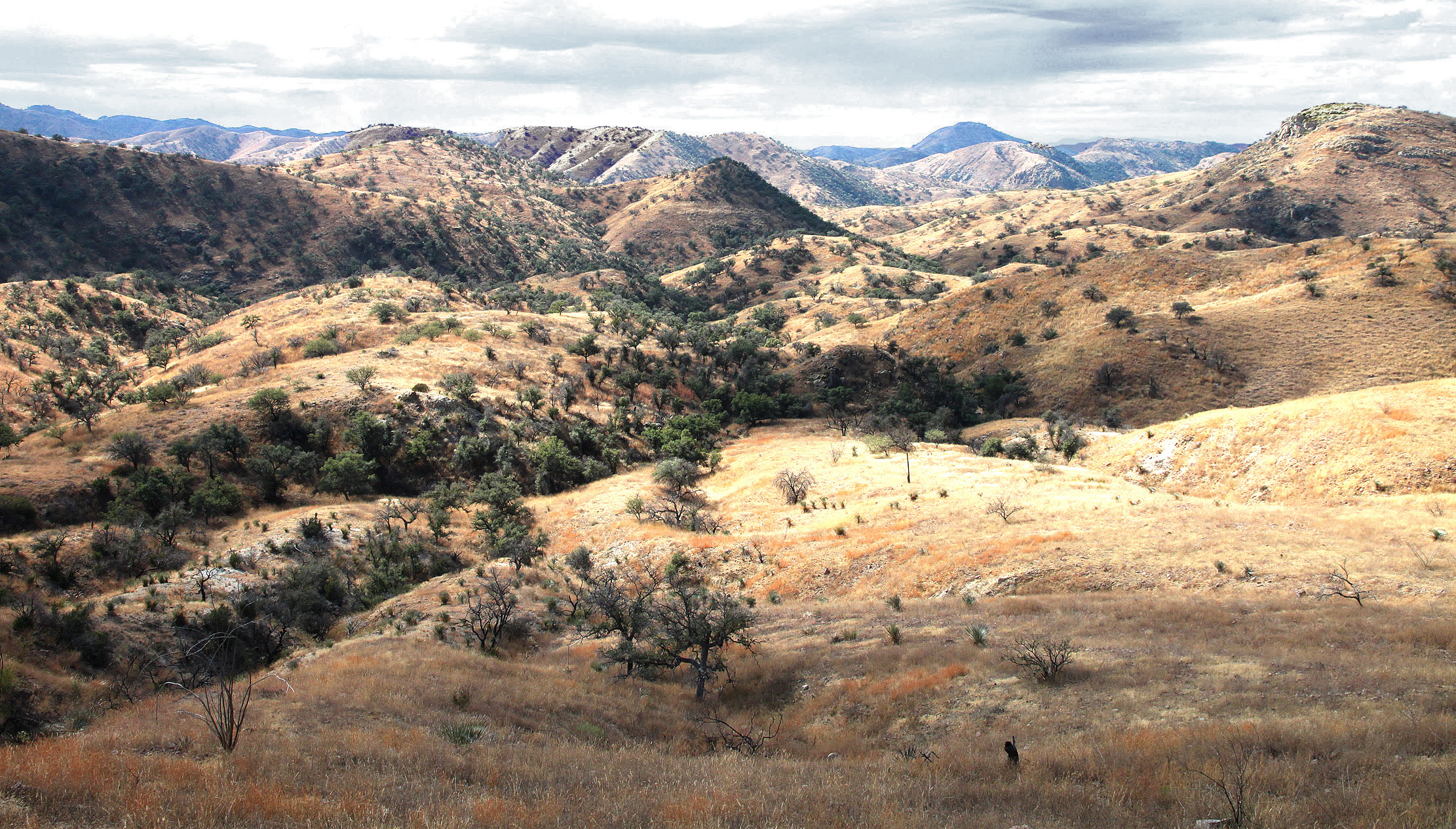
Ruby lies along Forest Service Road 39 (Ruby Road) in southern Santa Cruz County. From Tucson or Amado, take Interstate 19 south to Exit 48 at Amado, head west on paved Arivaca Road about 22 miles to Arivaca, then turn south onto Ruby Road. The pavement ends past the county line, and the route continues as dirt for roughly six miles to the Ruby gate. Coming from Nogales or Rio Rico, follow State Route 289 west past Peña Blanca Lake and continue onto Forest Service Road 39 through Sycamore Canyon.
Why Ruby Matters
Ruby compresses a great deal of Southwestern history into one small canyon. Its arc — from a marginal precious-metals camp to an industrial base-metal producer and back to silence — shows how completely corporate capital and engineering could remake a place: a fifteen-mile pipeline and a flotation mill turned a water-starved outpost into a top statewide producer, then took the town apart when the ore was gone. The Ruby Murders and the manhunt they set off mark an early, if grim, chapter in the modernization of border-country law enforcement, aircraft and all. And the aftermath — a mine reborn as a roost for two hundred thousand bats, a hillside read by archaeologists like a text — shows how thoroughly an abandoned town keeps working long after its people leave. That the owners finally closed Ruby to protect its crumbling adobe only underscores what it has become: a private, fragile time capsule of Arizona’s industrial past.
Ghost Towns Nearby
Arivaca
Pima County · ~12 mi N
Still-inhabited community with 1850s–1930s roots in gold, silver, and ranching; reachable by paved road.
Calabasas
Santa Cruz County · ~20 mi E
1850s–1880s military post and custom house near Rio Rico; minor ruins on restricted land.
Alto
Santa Cruz County · ~33 mi E
Early-1900s copper, lead, and silver camp in the Santa Ritas; standing adobe ruins along dirt roads.
Salero
Santa Cruz County · ~35 mi E
1870s–1910s silver camp near Patagonia; intact ruins on a gated private enclave.
Helvetia
Pima County · ~40 mi NE
1890s–1910s copper camp on the Santa Ritas; foundations, slag piles, and cemetery remain.
Sasco
Pinal/Pima line · ~60 mi N
Early-1900s copper-smelter town; smelter ruins, hotel foundations, and a concrete jail survive.
Further Reading
- Ring, Bob, Al Ring, and Tallia Pfrimmer Cahoon. Ruby, Arizona: Mining, Mayhem, and Murder (U.S. Press & Graphics, 2005) — the definitive single-subject history.
- Varney, Philip. Arizona Ghost Towns and Mining Camps (Arizona Highways Books, 1994).
- Dolan, Samuel K. Cowboys and Gangsters: Stories of an Untamed Southwest (TwoDot, 2016) — covers the manhunt and early aerial surveillance.
- Sherman, James E. and Barbara H. Sherman. Ghost Towns of Arizona (University of Oklahoma Press, 1969).
- Granger, Byrd H. Arizona Place Names (University of Arizona Press, 1970) — postal history of Ruby.
Sources & Photo Credits
Historical detail synthesized from published histories of Ruby and the Montana Mine (Ring, Varney, Dolan, Sherman, and Granger, cited above), the Ruby Historical Archaeology Project, and regional conservation reporting on the mine’s bat colony. All prose is original to Ghost Town Archive.
Photographs: Town view by PhilipC (CC BY 2.0); schoolhouse by Alan Stark (CC BY-SA 2.0); 1936 concrete jail by “The Old Pueblo” (CC BY-SA 4.0); Ruby Murders posse from the Nogales Herald (public domain); Ruby Road at Sycamore Canyon by Alan Schmierer (CC0) — all via Wikimedia Commons.