North Bloomfield & Malakoff Diggins, California: The Town That Washed Away a Mountain
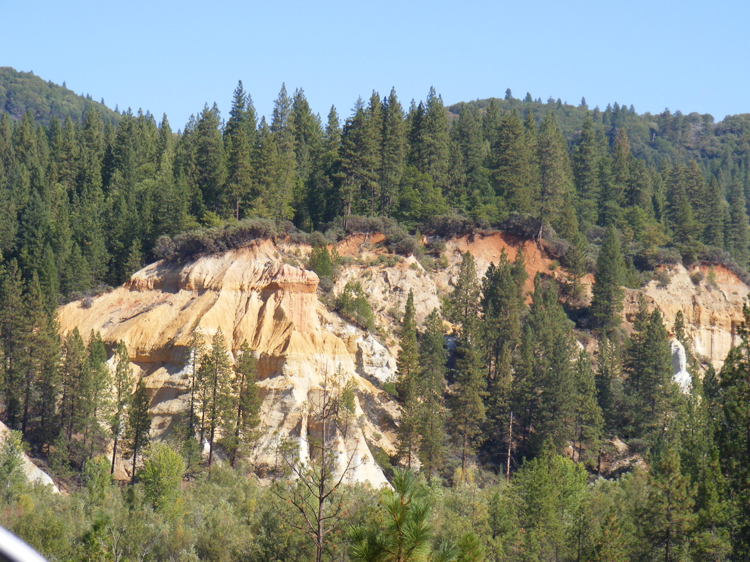
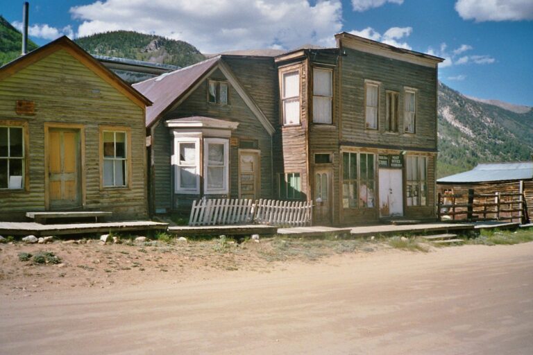
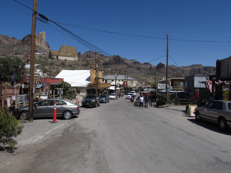
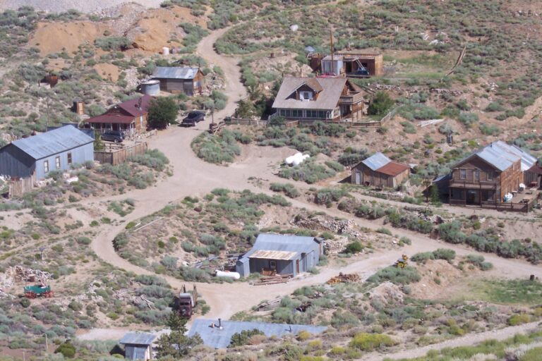
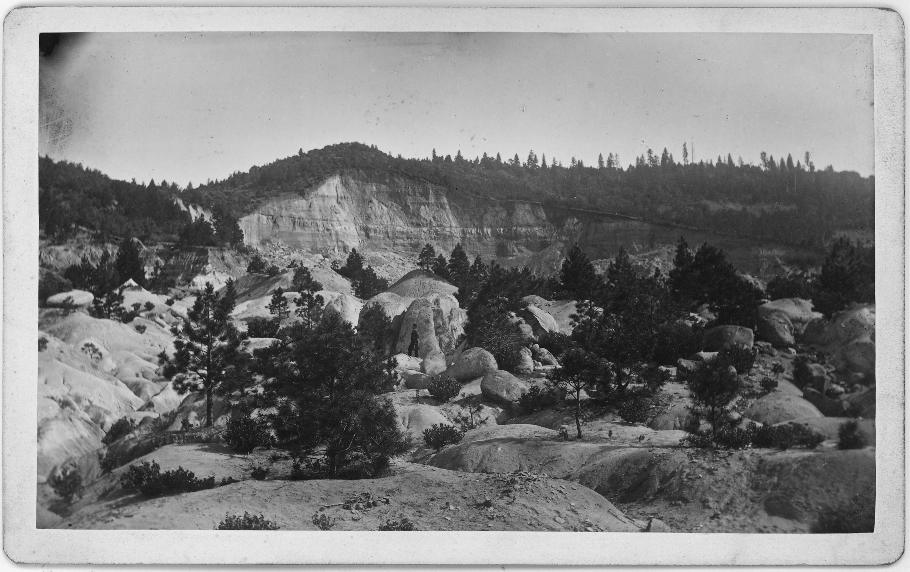
High in the pine country of the northern Sierra Nevada, a short drive from Nevada City, sits a place where the ground itself tells the story. The town of North Bloomfield is quiet now, its wooden storefronts restored and its dirt streets empty most of the year. But walk a few minutes past the last building and the forest opens onto something that looks less like a mine and more like a wound: a canyon of raw gold and rose-colored cliffs nearly a mile and a half across, carved not by any river but by men aiming jets of water at a mountain until the mountain was gone.
This is Malakoff Diggins, the largest hydraulic gold mine California ever produced, and the town that grew up beside it. For roughly two decades the operation here washed millions of cubic yards of gravel through sluices in search of gold, sending a torrent of mud and debris downstream that would eventually reach San Francisco Bay. What happened here did more than build and abandon another mining camp. It produced one of the first environmental lawsuits in American history, a court decision that effectively ended an entire industry, and a landscape so altered that the state finally set it aside as a park so people could stand at the rim and try to comprehend it.
From Humbug to North Bloomfield
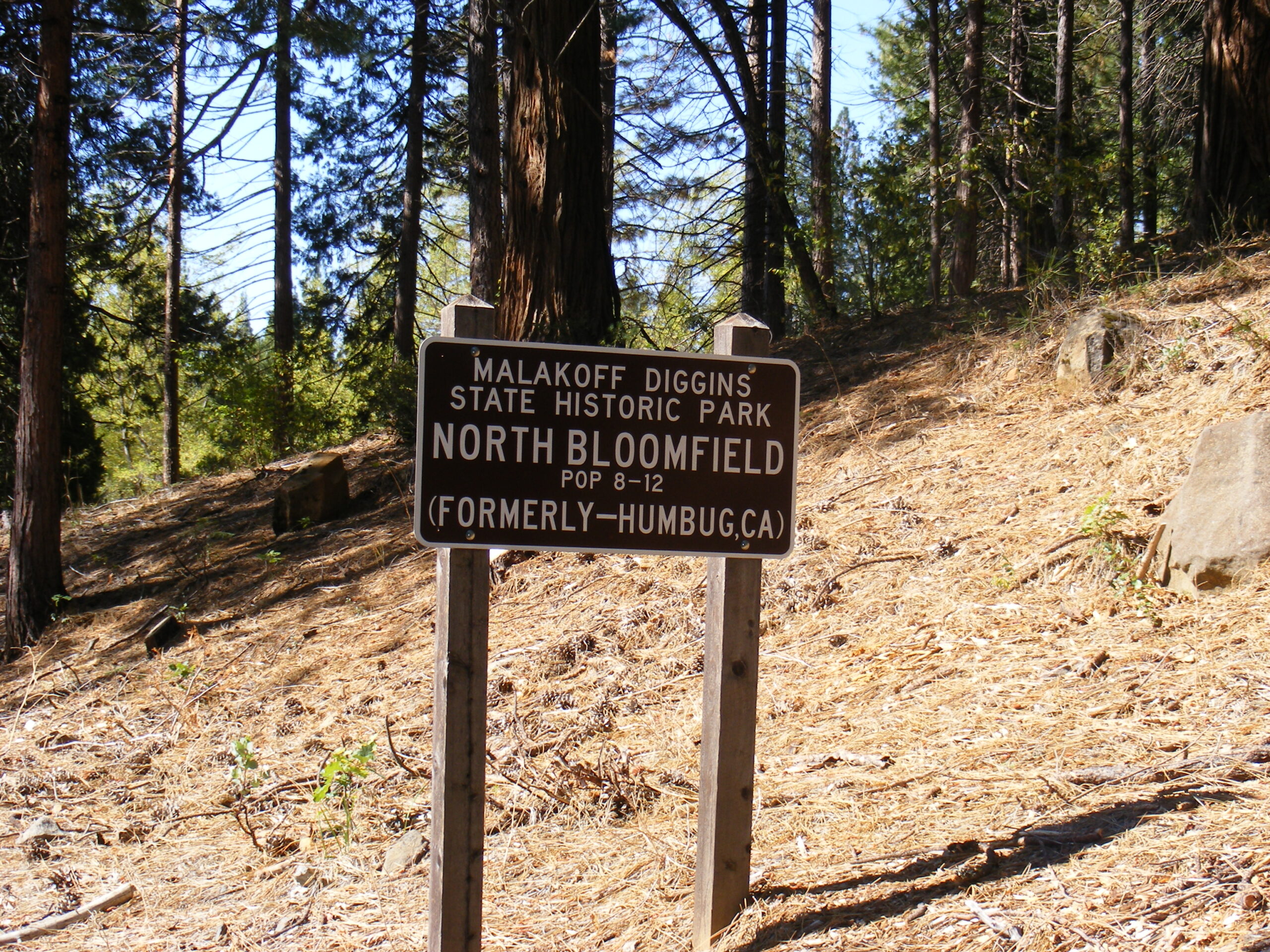
The first miners arrived around 1851, working the gravels along Humbug Creek. The name was not a compliment. Early prospectors, disappointed by thin returns, dismissed the whole area as a “humbug,” and the label stuck to both the creek and the little settlement that formed above it. As the diggings improved and the population grew, residents decided a town with real ambitions needed a name with more dignity. They chose Bloomfield, only to discover another California town had already claimed it, and so the post office settled on North Bloomfield in 1857.
What transformed the camp from a modest placer operation into an industrial giant was a technique that had been pioneered nearby a few years earlier: hydraulic mining. Instead of digging gravel by hand and hauling it to water, miners brought the water to the gravel, and they brought it with terrifying force.
How Hydraulic Mining Worked
The principle was brutally simple. Water was collected in reservoirs high in the mountains and channeled through miles of ditches and flumes, then funneled into iron pipes that narrowed as they descended. By the time the water reached a nozzle called a monitor, it emerged as a jet powerful enough to kill a man at a considerable distance and tear apart a gravel bank in minutes. Crews aimed these hoses at ancient river deposits left behind millions of years earlier, when the Sierra’s rivers ran on very different courses. Those buried channels held gold, and hydraulic mining was the fastest way ever devised to get at it.
The slurry of shattered gravel and mud ran through long sluices lined with riffles that caught the heavy gold as the lighter material washed on through. What washed on through was the problem. For every ounce of gold recovered, the operation flushed enormous volumes of sediment out the bottom end, and that sediment had to go somewhere.
The Drainage Tunnel Through Bedrock
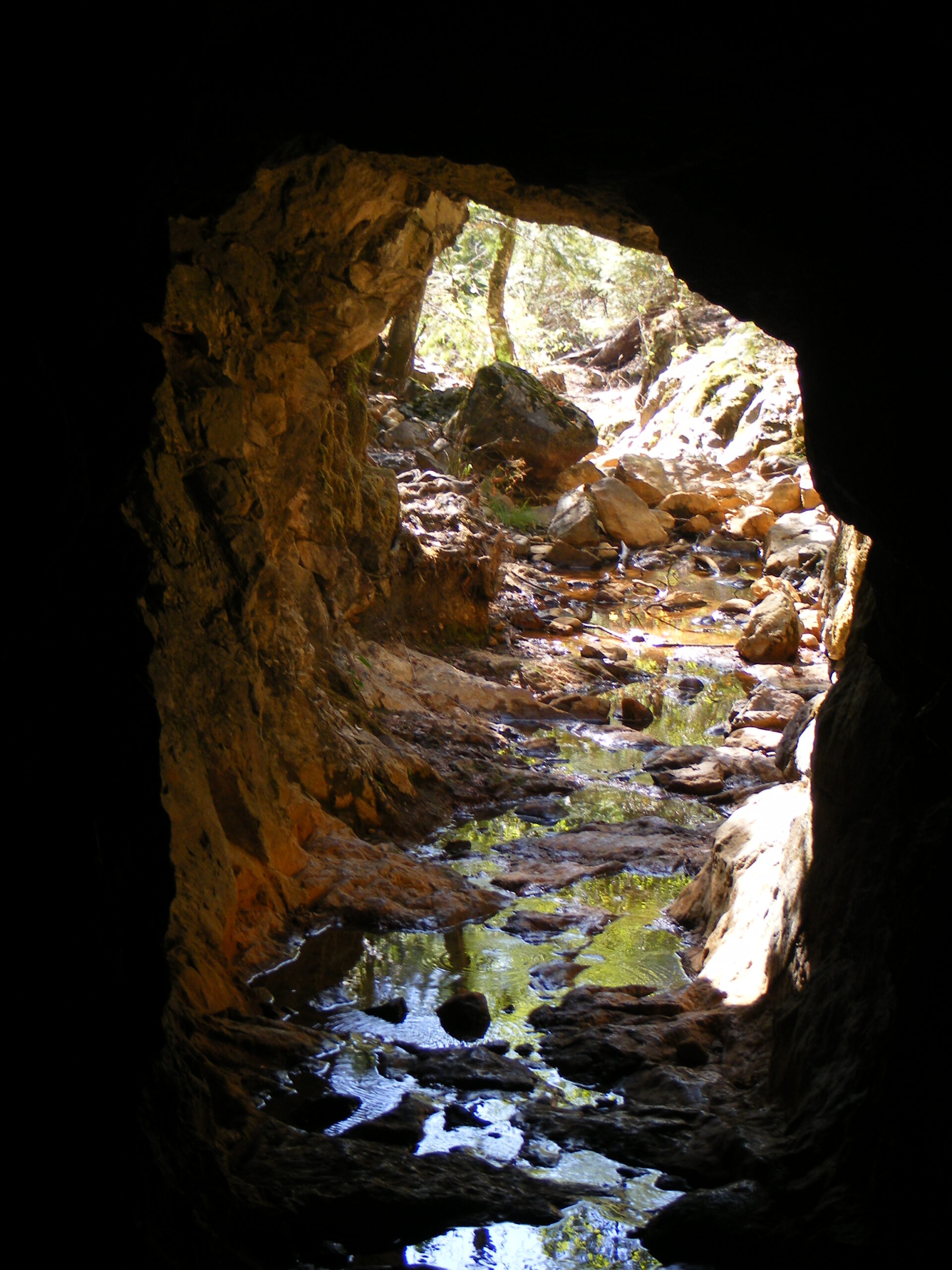
By the mid-1870s the North Bloomfield Gravel Mining Company had scaled up to a size that dwarfed its neighbors. To drain the ever-deepening pit and carry off its tailings, the company undertook one of the era’s more staggering feats of engineering: a drainage tunnel bored through solid bedrock beneath the diggings, stretching roughly 7,847 feet, close to a mile and a half. Cut largely by hand and black powder, the bore let water and debris flow out of the pit and into the drainage below, allowing the monitors to keep chewing deeper into the hillside.
A Town at Its Peak
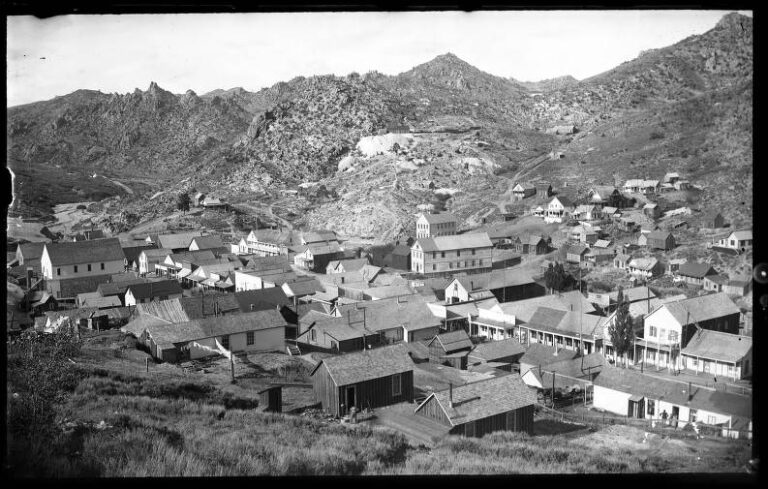
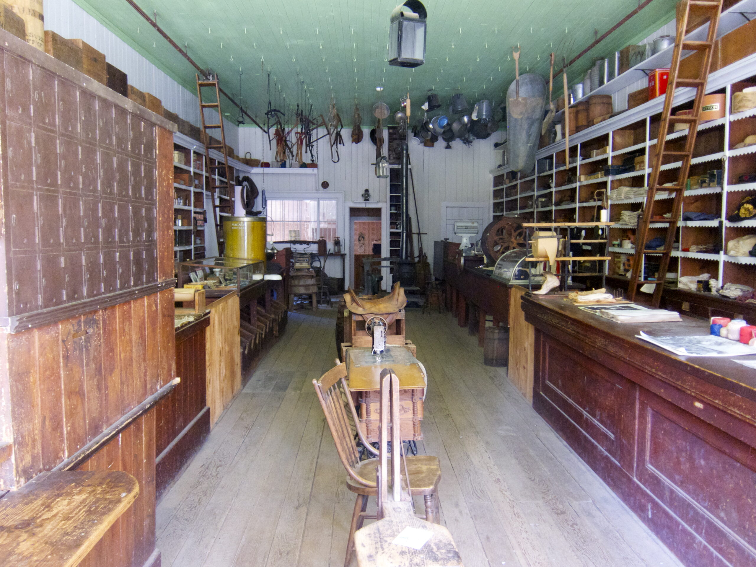
At its height in the 1870s North Bloomfield was a substantial community of perhaps 1,500 people, supporting the full apparatus of a Sierra town: a main street of stores and saloons, hotels, a drug store, a school, churches, and the machine shops and offices that kept the mining company running. Among the workforce were several hundred Chinese laborers, part of the large Chinese population drawn to California’s mines, who did much of the hard ditch-digging and hydraulic labor while living, as they did throughout the gold country, in a segregated quarter and under constant social pressure.
The town was also, remarkably, wired into the future. In 1878 the mining company’s system was connected by what has often been cited as one of the world’s first long-distance telephone lines, running some sixty miles to French Corral and used to coordinate water deliveries across the company’s sprawling network of ditches and reservoirs. A mining camp in the Sierra foothills found itself, briefly, at the leading edge of communications technology.
The Mud Goes Downstream
The gold made fortunes, but the tailings made enemies. All that shattered gravel and silt did not vanish; it poured into the Yuba River and from there into the Sacramento, raising riverbeds year after year with a rising tide of “slickens,” the fine mining mud that buried farmland, choked navigation channels, and worsened floods. Downstream, orchards and wheat fields in the Sacramento Valley were smothered under feet of sediment. Towns like Marysville watched their rivers climb toward the tops of hastily built levees. What was gold in the mountains was ruin in the valley, and the farmers had had enough.
The Sawyer Decision
The conflict came to a head in a lawsuit brought by a Marysville landowner, Edwards Woodruff, against the North Bloomfield Gravel Mining Company. In January 1884, federal judge Lorenzo Sawyer issued his ruling, and it landed like a thunderclap. Sawyer found that dumping mining debris into the rivers constituted a public and private nuisance, and he issued an injunction barring the company from discharging its tailings into the watershed. Because virtually every hydraulic operation in the Sierra depended on doing exactly that, the Sawyer Decision effectively shut down large-scale hydraulic mining across the region almost overnight.
Historians often point to the case as one of the earliest and most consequential environmental rulings in the United States, an instance of a court weighing the profits of one industry against the damage it inflicted on everyone downstream and deciding, decisively, in favor of the land and the people on it. For North Bloomfield, the verdict was fatal. The monitors fell silent, the workforce drifted away, and the town began the long slide toward abandonment.
The Long Decline and What Was Left Behind
The Sawyer Decision did not empty North Bloomfield in a single day. For a time the company and others tried to work within the ruling, building debris dams and impounding works meant to hold back the tailings, and some limited hydraulic activity continued into the following decades wherever operators could argue their runoff was contained. But the economics never recovered. The whole appeal of hydraulic mining had been its scale, and once the rivers were closed to the debris that scale created, the profits it depended on evaporated. Families packed up and left for other camps or for the coast, buildings were dismantled for their lumber, and the population that had numbered in the many hundreds dwindled to a handful of caretakers.
What remained was the pit itself, and it refused to be forgotten. Rain and snowmelt continued to shape the exposed cliffs long after the monitors went quiet, deepening gullies and sculpting the soft gravels into the banded formations visitors photograph today. The colors are the colors of the ancient riverbed laid bare: rust and ochre and pale rose, a cross-section of geologic time that would never have been visible without the water cannons that exposed it. By the middle of the twentieth century the state recognized that the site was both a scar and a monument, and in 1965 it became Malakoff Diggins State Historic Park.
The People Behind the Water
It is easy to talk about hydraulic mining as a matter of machinery and monitors, but the operation ran on labor, and a great deal of that labor was Chinese. Historians estimate that several hundred Chinese workers were tied to the North Bloomfield operations at their peak, digging and maintaining the vast system of ditches, flumes, and reservoirs that kept water flowing to the diggings. They worked long hours for low pay and lived apart from the white population, in the pattern of exclusion and segregation that characterized nearly every Sierra mining community of the era. Their contribution was essential and their treatment was harsh, and the surviving records of their lives here are frustratingly thin, a silence that echoes across much of California’s mining history.
Timeline
Getting There
Nearby Ghost Towns
Malakoff Diggins today is a study in contrasts: a peaceful restored village on one side, a raw and haunting industrial scar on the other. It sits within the same California high country that produced other legendary ghost towns, and travelers exploring the state’s mining history often pair a visit here with the far larger and more famous Bodie on the eastern slope of the Sierra. Where Bodie preserves a town frozen in “arrested decay,” North Bloomfield preserves something rarer, the visible aftermath of an industry that changed the law of the land.