Promontory Point, Utah: The Lake Station on the Lucin Cutoff
Promontory Point is the place most people mean when they say the transcontinental railroad was finished beside the Great Salt Lake, and it is the wrong place. The golden spike was driven on May 10, 1869 at Promontory Summit, a mountain pass about 30 miles to the north. Promontory Point is the rocky cape at the southern end of the same peninsula, where the lake laps at the rock. The railroad did not arrive there for another three decades, and when it did, it came to cross the water.
Point or Summit?
The mix-up goes back to the 1869 ceremony. Telegraphers sent word of the event under the shorthand “Promontory Point,” and newspapers, stereoview makers and travel guides repeated it. Some even said the locomotives met at the edge of the lake. The National Park Service says plainly that Promontory Point is about 30 to 35 miles south of Golden Spike and that Promontory Summit is the correct name for the 1869 site. In 1869 the tracks climbed a steep grade over the mountains and never came near the open water.
A shortcut across the lake
The 1869 route over the Promontory Mountains was a bottleneck. It had sharp curves and a long climb that needed extra engines, and as trains got heavier the problem got worse. After Edward H. Harriman took over the Southern Pacific in 1901, his chief engineer, William Hood, was authorized to build the long-discussed alternative: a line straight across the lake from Ogden to Lucin, near the Nevada border. The Lucin Cutoff is about 102 miles long and shortened the route by roughly 43 to 44 miles. It removed thousands of degrees of curvature and kept the grade nearly flat, so one engine could haul trains that had needed several, and the crossing time fell from about fifteen hours to seven.
The southern end of the peninsula was the hinge of the plan. Rock for the fill had to come from somewhere, and the quartzite cliffs at Promontory Point were the nearest source. By most accounts the Southern Pacific opened its quarry there in 1901. The line crossed Bear River Bay on an embankment on the east, ran over the dry neck of the peninsula, and then went out into the lake from Saline on the west side, on a roughly twelve-mile wooden trestle with rock fill at both ends.
Building on salt water
Nothing about the job was easy. There was no fresh water on the peninsula, so water was brought in by train from springs 30 to 50 miles away and by boat from rivers on the mainland. Brine corroded iron and crusted tools. The lake bottom was soft mud that swallowed entire rock cars, and builders drove tens of thousands of timber piles, by common accounts around 38,000 to 40,000. Storms on the lake hit the crews hard.
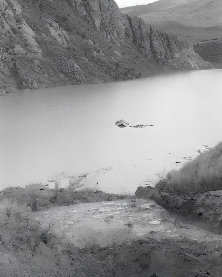
The work needed boats as much as trains. The railroad assembled a fleet that accounts put at about 39 vessels, led by a large wooden sternwheel steamer named the Promontory, along with tugs, launches, barges and floating pile drivers. Crews are said to have lived on two-story bunkhouse barges moored beside the line of the bridge, with supplies brought out daily from the docks at Saline. By most accounts about 3,000 men worked on the cutoff, seven days a week. The tracks from east and west met in the middle of the lake on November 13, 1903.
The station that is gone
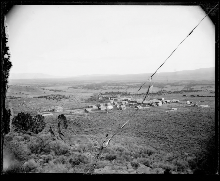
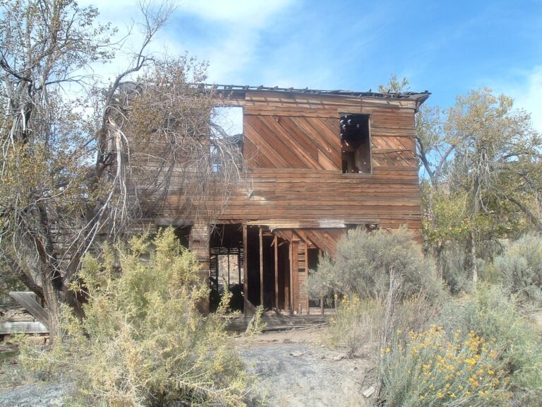
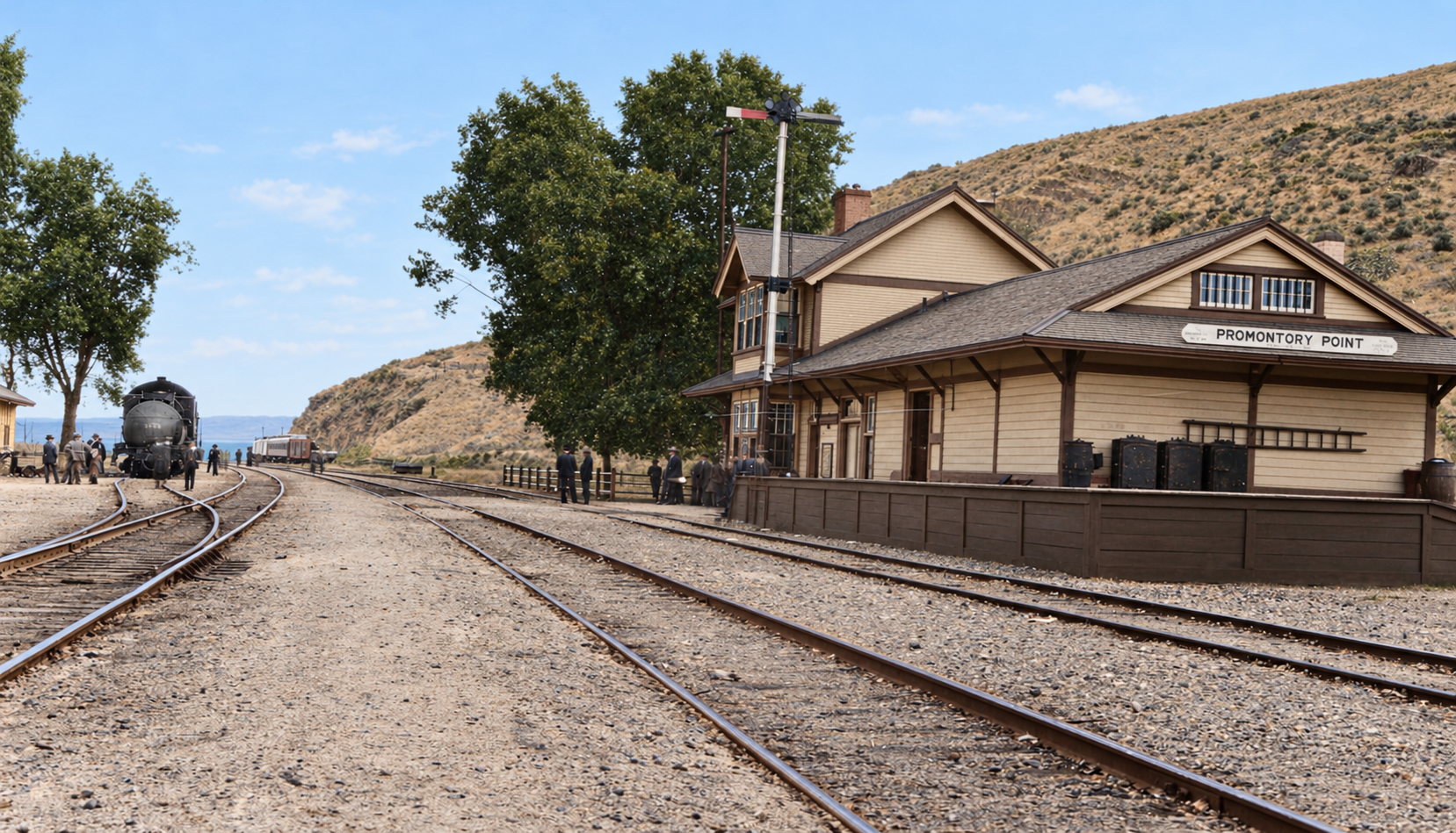
The station at Promontory Point served the new line, and the photograph above shows it about 1920. The old Summit line lost nearly all its traffic once the cutoff opened, and in 1942 its rails were pulled up for wartime scrap. At the point itself, the construction camps that had held thousands of men in 1903 were closed once the job was finished. By the middle of the century the only permanent installations were the quarry and the railroad’s own maintenance facilities. Wooden depots and line cabins at the siding were later cleared, and the station in the photograph no longer stands.
The point is blasted away
By the early 1950s the timber trestle was worn out. Salt worked into the wood, waves fatigued the piles, and fire was a constant risk, so trains crawled across at 15 to 20 miles an hour. In 1956 the Southern Pacific hired the Morrison-Knudsen Company of Boise, Idaho, to build a 12.6-mile rock-fill causeway on a parallel line about 1,500 feet north, at a reported cost of around $45 million for the contract and $49 million in all. The contractor housed its crews in a trailer town on the peninsula, Little Valley, which at its peak held roughly 1,200 to 1,300 people.
The rock came from the cliffs at Promontory Point, and it came in huge blasts. Crews dug tunnels, called coyote holes, into the base of the cliffs and packed them with explosives. The best-documented shot, on January 5, 1958, used about 2,138,000 pounds of dynamite and ammonium nitrate and brought down a 300-foot cliff face, roughly 3.7 million cubic yards of rock, in one slide. It was reported as the largest non-atomic blast set off by private industry. Conveyors then carried crushed rock down to a new harbor at Little Valley, where barges loaded it for the lake. The first regular freight train crossed the causeway on July 27, 1959. The full story of the camp and the blasts is on our Little Valley page.
A lake divided
The rock causeway did not let water move as freely as the trestle. The Bear, Weber and Jordan rivers all flow into the south arm, so the north arm lost its freshwater and grew much saltier, with concentrations reported at 25 to 30 percent against about 9 to 15 percent in the south. The north arm turned a deep red and pink from salt-loving microbes, and brine shrimp and fly larvae largely disappeared from it. The south arm stood a few feet higher than the north. Two culverts passed water through, and during the record floods of the mid-1980s the State of Utah cut a 300-foot breach in the causeway west of Saline on August 1, 1984. A new 180-foot breach bridge with an adjustable underwater berm opened in December 2016 to manage the flow.
Timeline
What you can see now
What is left is industrial. Stepped quarry faces and the collapsed mouths of old coyote tunnels mark the southern skyline of the peninsula. The Little Valley harbor still has its rock breakwaters and concrete foundations. Nearby are salt evaporation ponds and dikes, and along the lake in autumn and winter, boats harvest brine shrimp eggs. Saline is an active Union Pacific siding with modern signal huts. A private landfill on upland above the old quarries has been the subject of permits, appeals and legal fights over what it may accept and what it might do to groundwater.
Historic sites nearby
Further reading
Sources
Wikipedia — Lucin Cutoff — construction dates, length, the 1959 causeway and the breaches
Utah Division of State History — The Lucin Cutoff
National Park Service — Golden Spike historical handbook — Promontory Summit and the Point mix-up
UtahRails.net — Southern Pacific, Promontory Branch
University of Utah Marriott Library — Saline Stories: Lucin Cutoff
Utah Geological Survey — What is the Boxcar Seawall?