Picher, Oklahoma
Most ghost towns die of exhaustion. Picher died of poison. For half a century it was the beating heart of the Tri-State lead-and-zinc field — the most productive lead district in the country, feeding the bullets and brass of two world wars. Then the ore ran out, and what the mines left behind — 178 million tons of toxic “chat,” 300 miles of flooding tunnels, and a generation of lead-poisoned children — made the town literally uninhabitable. In 2009 the State of Oklahoma dissolved it, and the bulldozers finished the job.
This is the documented history of Picher, Oklahoma: how the boom happened, how the environment collapsed, and what remains today at the most notorious Superfund ghost town in America. Where the record and the legend diverge, we say so.
A lead strike and an instant city, 1901–1926
The land beneath Picher was once the communal territory of the Quapaw Nation, broken into private allotments after the 1887 Dawes Act. Exploratory drilling began in 1901, but it was the 1913 discovery of high-grade lead and zinc that set off the rush. Industrialist Oliver S. Picher, whose Picher Lead Company merged into the Eagle-Picher Lead Company in 1916, assembled the mineral rights — leasing tracts from Quapaw and white allottees at a 5% royalty and subleasing them to operators for up to 17.5%. The town was incorporated in 1918 and named for him.
Picher became the center of the Tri-State Mining District, a 2,500-square-mile field spanning northeastern Oklahoma, southeastern Kansas, and southwestern Missouri. At its peak it recorded 14,252 residents (1926) and ran more than 200 mills processing 10 million pounds of ore a day, worked by some 14,000 miners. Between 1917 and 1947 the field produced over $20 billion in lead and zinc — and supplied more than half of all the lead and zinc used by U.S. forces in both world wars.
Chat, acid, and lead: the collapse, 1950s–1990s
As the high-grade ore ran out and post-war metal prices fell, mining wound down through the 1950s and ’60s; major extraction ended in 1967 and the last mines closed by 1970. The milling had left mountains of chert tailings — “chat” — behind: roughly 178 million tons in dozens of piles across more than 5,000 acres, laced with lead, zinc, cadmium, and arsenic. Wind carried fine lead dust straight off the un-vegetated piles into people’s homes.
When the pumps stopped, the 300-mile network of tunnels flooded, and the exposed sulfide minerals oxidized into acid mine drainage. In 1973, rust-red acidic water began pouring out of the abandoned shafts into Tar Creek, contaminating the aquifer and downstream rivers.
The human cost was measured directly. A 1994 study found that 34% of Picher’s children had blood-lead levels high enough to cause permanent neurological harm — later screening put the figure as high as 63%. The EPA had already folded Picher into the Tar Creek Superfund Site in 1983, organizing the cleanup into five Operable Units covering groundwater, residential soil, the old Eagle-Picher offices, the chat piles, and the river sediments.
Subsidence, a tornado, and the end, 2006–2009
The final blow came from below. Decades of room-and-pillar mining had left vast voids under the town, and in 2006 the U.S. Army Corps of Engineers found that 86% of Picher’s buildings — including the school — sat over ground that could collapse at any moment. State and federal officials concluded that cleaning up an inhabited town over collapsing mines made no sense, and authorized a mandatory federal buyout.
Then, on May 10, 2008, an EF4 tornado a mile wide tore through Picher with 165–175 mph winds, destroying more than 150 homes and 20 city blocks and killing six people in town (21 along the wider track). Federal authorities declined to rebuild the condemned municipality, redirecting the relief money into the buyout instead.
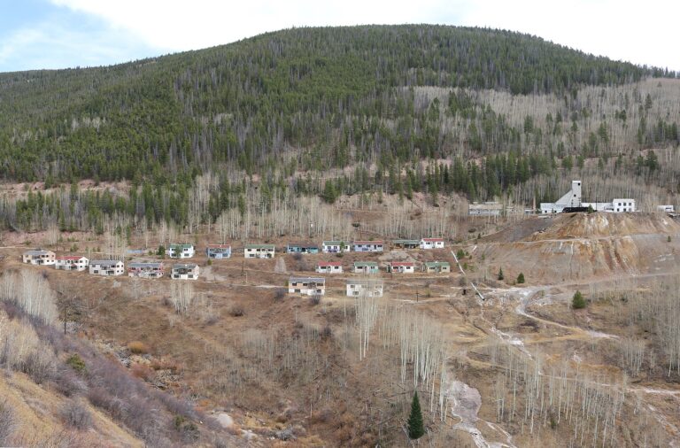
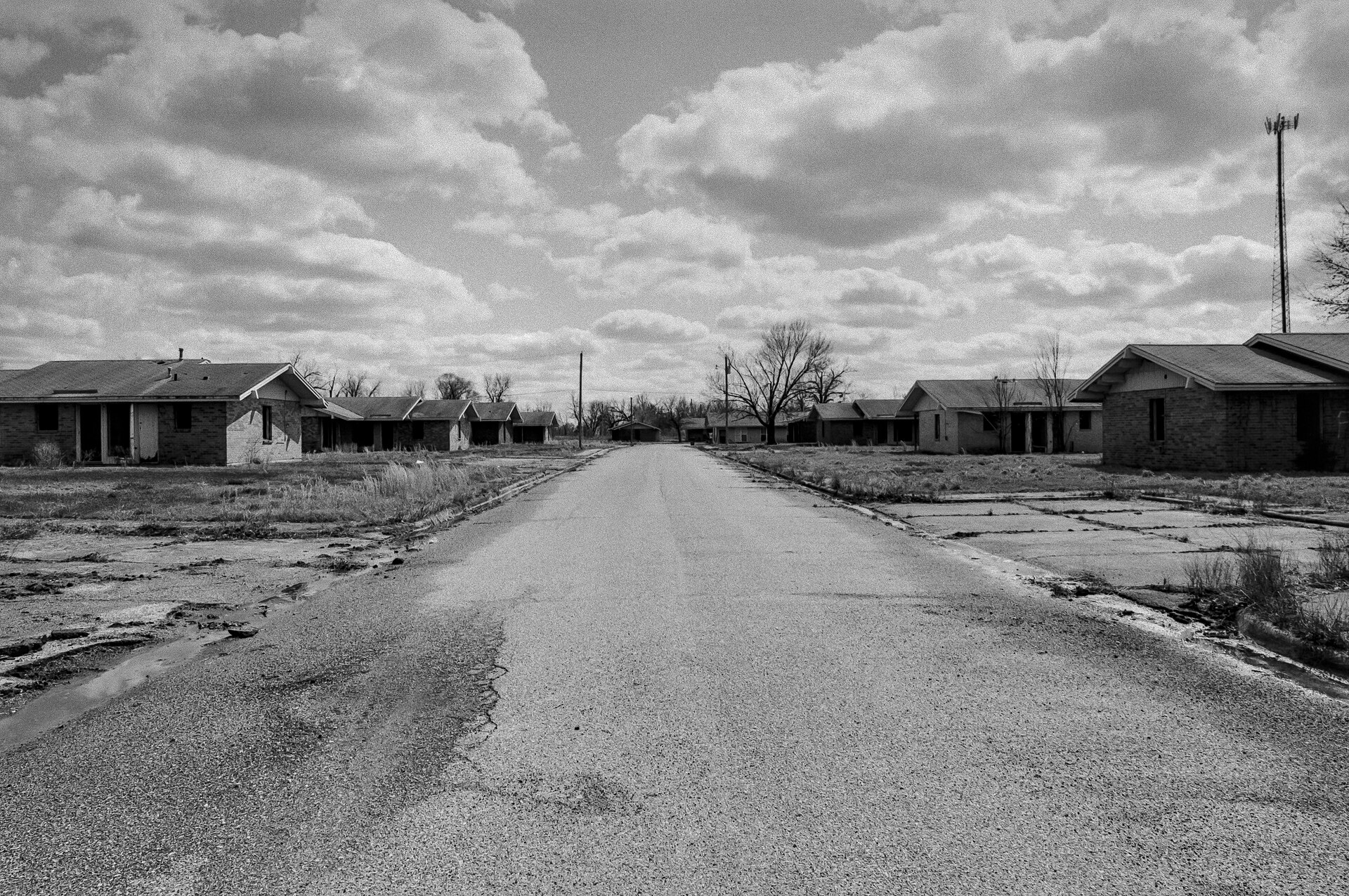
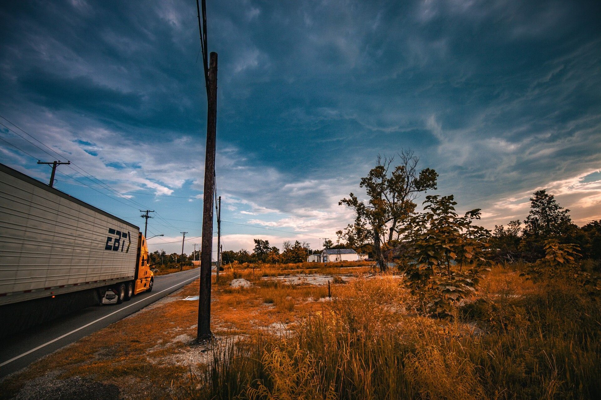
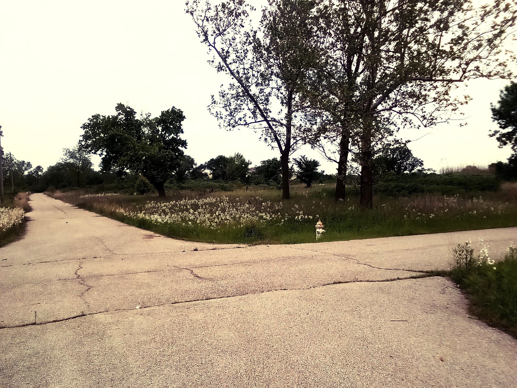
The school district dissolved in early 2009, utilities were cut, and on September 1, 2009, Oklahoma formally disincorporated the city. By 2010 the population was 20, and demolition crews leveled what stood. What survives is an empty street grid — foundation pads, vacant asphalt, lone fire hydrants, a standing water tower, and grey chat piles on the horizon.
Gorillas, chat-pile parks, and a storm-bent cross
Before anyone understood the danger, the chat piles were part of daily life — kids rode ATVs up the slopes, sledded down the gravel faces, and swam in the flooded, acidic pits. Athletics held the town together: Picher High fielded the “Gorillas,” with fierce rivalries against the Miami “Wardogs,” Quapaw, and Commerce.
Displaced families never fully let go. On the first Saturday of December they still return to the empty grid for a memorial Christmas parade, floats rolling past vacant lots while the Quapaw band plays the old Picher fight song. And after the local mining museum was burned during the liquidation, former residents preserved the frame of the Methodist church — leaving its storm-bent metal cross in place as a marker of the town that was.
Timeline
Visiting Picher today
Picher is open to drive through — U.S. 69 and the county roads carry public traffic dawn to dusk, with no gates or fees — but it is an active Superfund site on private, tribal, and EPA land, and the rules are strict for good reason.
Nearby ghost towns
Further reading
Sources
Picher, Oklahoma — Wikipedia. en.wikipedia.org
Tar Creek Superfund Site — Wikipedia. en.wikipedia.org
Eagle-Picher — Wikipedia. en.wikipedia.org