Metropolis, Nevada: The Farm Town That Ran Out of Water
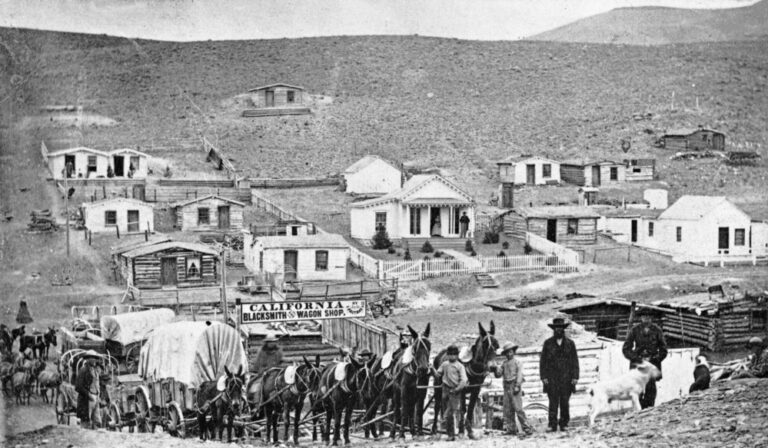
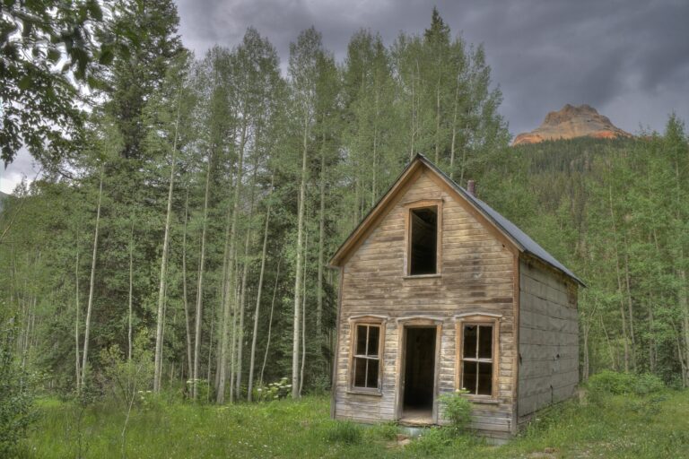
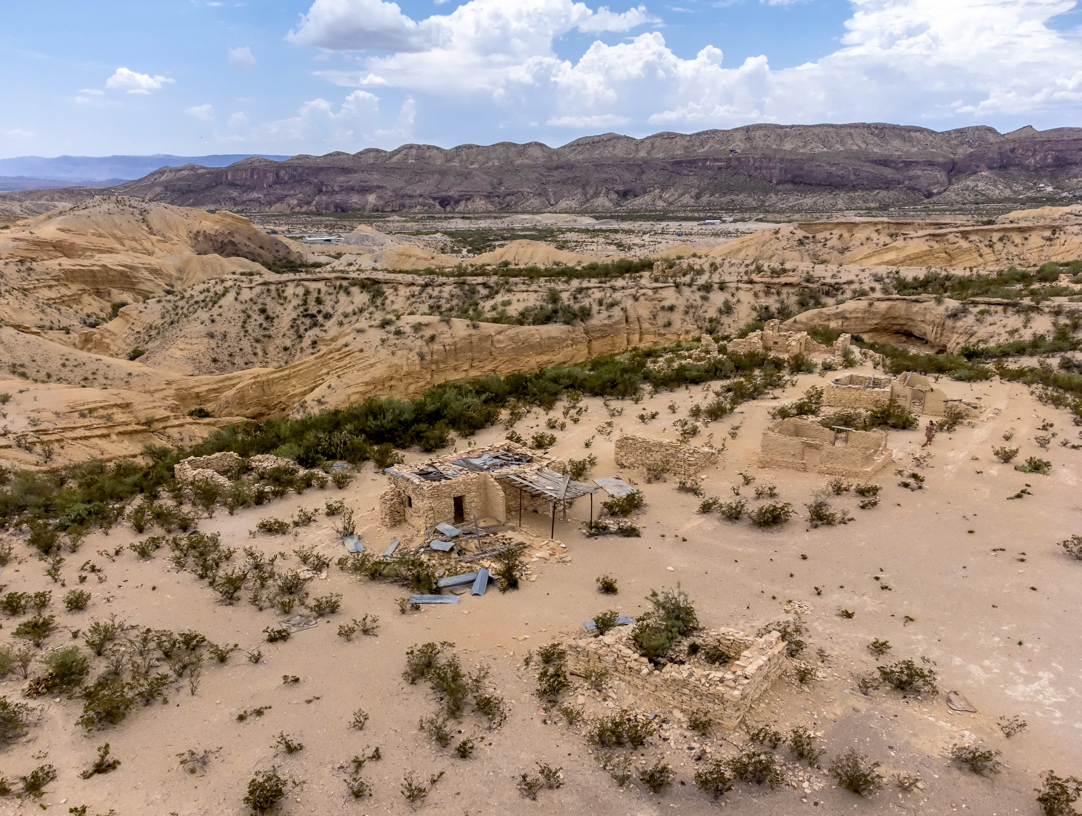
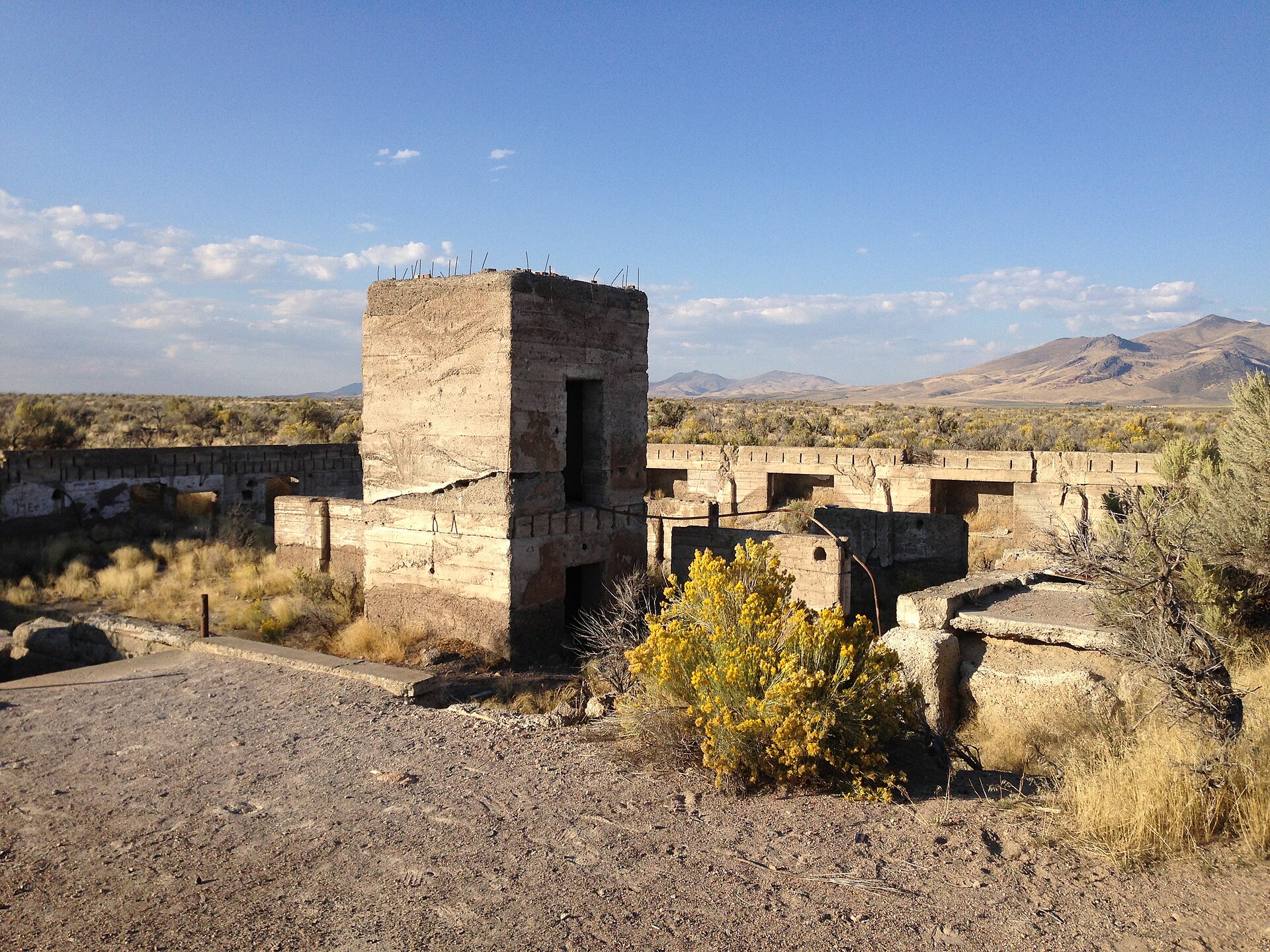
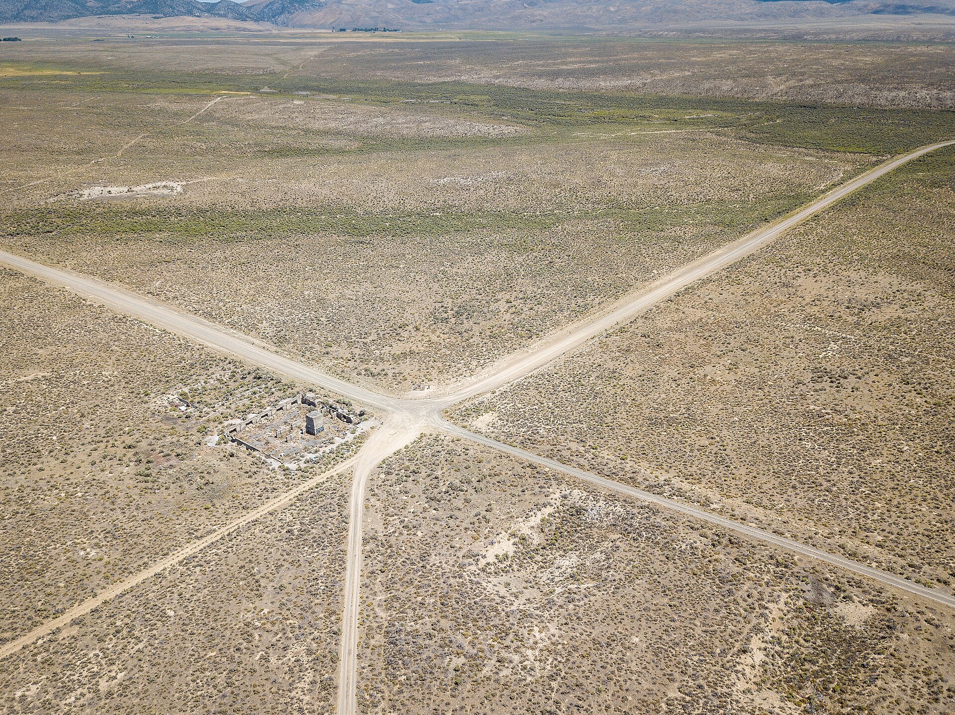
Most Nevada ghost towns were mining camps. Metropolis was supposed to be a farm city. In 1910 a New York-backed company bought roughly 40,000 acres of sagebrush northwest of Wells, dammed a creek, laid out streets and sold farms to families, many of them Latter-day Saints from Utah and Idaho. It built a three-story hotel with an elevator, a brick school and a railroad branch, and for a short time it had hundreds of residents. Then a court cut the colony’s water by about 90 percent. Drought, disease, jackrabbits and crickets finished what the courts began, and within about 15 years the town was almost empty. What remains is a school arch, concrete hotel ruins, a cemetery and a dam.
A city on paper
The Pacific Reclamation Company was organized around 1909 by Harry L. Pierce, an industrialist and financier from Leominster, Massachusetts, with investors from New York and Salt Lake City. A land-selling subsidiary platted the town of Metropolis on a formal grid, with avenues, sidewalks, parks and business blocks, in Independence Valley below the mouth of Bishop Creek canyon. The name was deliberate. The company printed illustrated brochures, opened a Salt Lake City office and ran heavy promotions in Utah that promised water for every farm from reservoirs and canals, with dry-farmed wheat on the benches above. According to one account, land that sold for $10 an acre climbed to $75 under the promotion, and some promoters spoke of a town of 7,500.
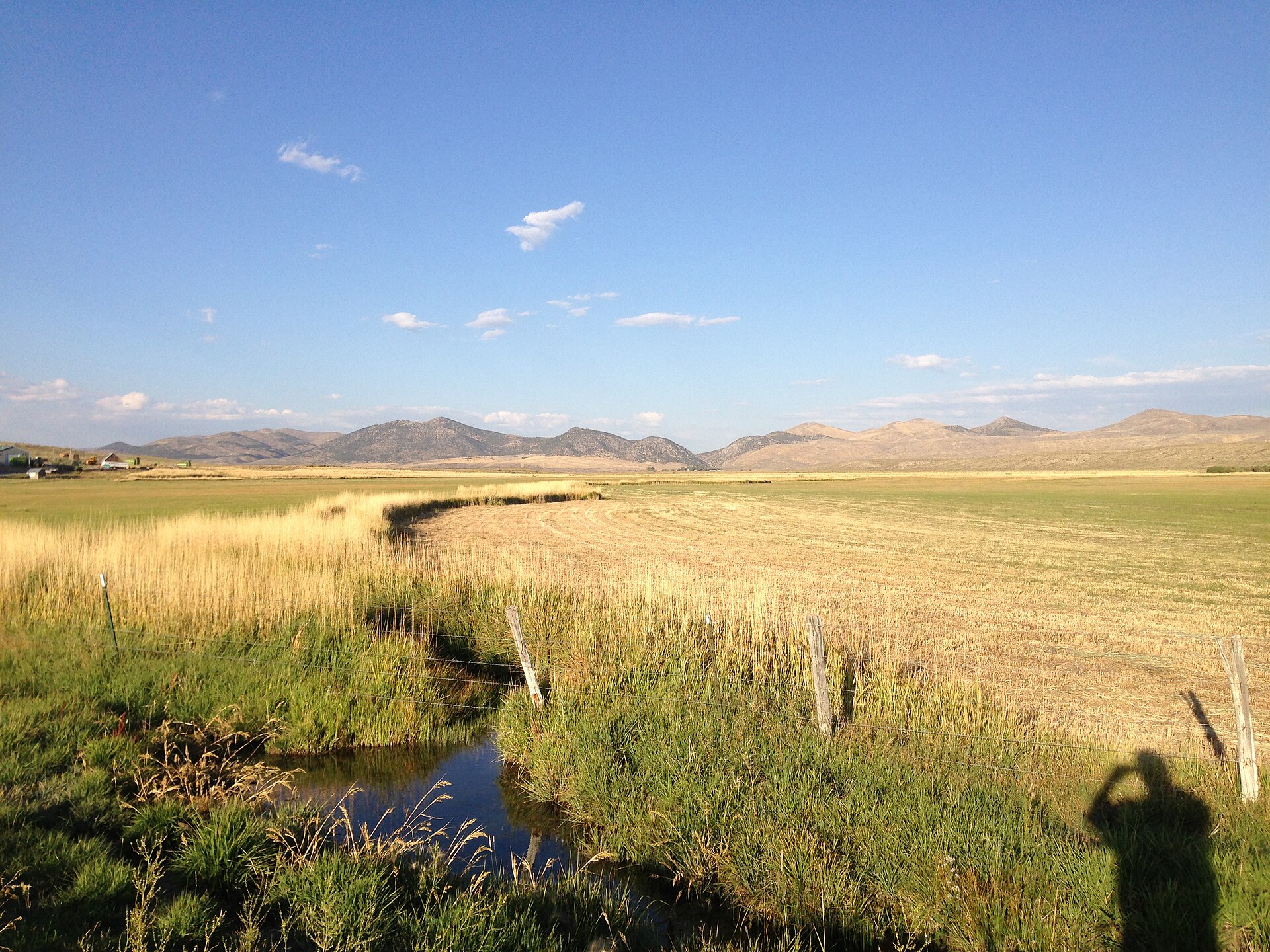
The centerpiece was Bishop Creek Dam, an earth-and-rockfill structure with a concrete core wall and face, built about 100 feet high to hold a reservoir of roughly 30,000 acre-feet. Canals were to carry the water across the valley floor.
The Mormon colony
Pierce’s company aimed its sales at farm families in northern Utah and southern Idaho, where land was getting scarce, and the Church of Jesus Christ of Latter-day Saints encouraged the venture. In early 1912 the apostles Francis M. Lyman and David O. McKay visited to look over the soil and the dam, and on February 22, 1912 the Metropolis Ward was organized, with Wilford A. Hyde as its first bishop. Hundreds of settlers arrived and bought farms on installment contracts. They made Metropolis one of the few Mormon farming communities in Nevada, and in some accounts they were more than 90 percent of its residents.
A branch of the Southern Pacific was built from the main line near Tulasco, west of Wells, to the town, about 8 miles of track, and daily service began on February 15, 1912. The railroad brought in lumber, brick and machinery and carried out grain, livestock and dairy products.
The town that was built to last
Metropolis was built of brick and concrete rather than the frame and canvas of a mining camp, to show settlers and investors that it would endure. The Hotel Metropolis opened on December 29, 1911. It was a three-story, 50-room brick hotel with cut-stone trim, a concrete basement and, according to one account, a cost of $100,000. It had its own generator, steam heat, hot and cold water in the bathrooms, an electric elevator, European floor tile and stained glass. The ground floor held a bank with a concrete vault, a post office, a drugstore and soda fountain, a barbershop and a general store. A local account called it the finest hotel between Reno and Salt Lake City.
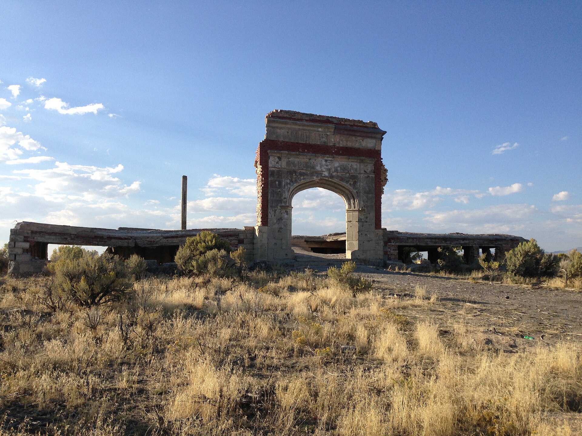
The Lincoln School was begun in 1913 and finished in 1914. It was a red-brick building on a raised concrete basement with six classrooms, a library and a coal furnace, with a stepped-brick Romanesque entrance arch. Accounts put its cost between $25,000 and $50,000, and it served 150 to 200 students. Other early buildings included a wood Amusement Hall that doubled as theater, gym and church house, a Consolidated Wagon & Machine implement dealership and a depot. The town even had its own newspaper, the Metropolis Chronicle, from late 1911 to 1913, and a school district second in size in the county only to Elko.
The water case
The company never secured the water it sold. Bishop Creek runs into the Humboldt River, and farmers more than 200 miles downstream in the Lovelock Valley held older rights to that river’s flow. Under the doctrine of prior appropriation, first in time is first in right. When the dam began holding back water in 1912, the Lovelock irrigators sued. The courts sided with them and barred the company from storing the creek’s normal flow, permitting it to capture only floodwater left over after downstream users were served. The ruling limited irrigation from the project to roughly 3,000 to 4,000 acres, about a tenth of what had been platted and sold.
Settlers who had bought 40- and 80-acre farms with promises of canal water now owned dry land. Even the small irrigated area lost water to seepage from unlined ditches, and farms near the headgates were watered while those farther down ran dry. The company, loaded with debt and legal costs and unable to sell land, went into receivership.
Dry farming, drought and rabbits
Without irrigation, the farmers turned to dry farming. For a few years it worked. Rain and snow in 1911 to 1913 were above average and produced good crops of wheat, which gave a false sense of security. By 1914 the weather had returned to normal and then turned dry. A long drought followed, with annual precipitation often below the 10 to 12 inches that wheat needs, and wind stripped topsoil from the tilled ground.
Disease and pests piled on. Many families relied on shallow wells and cisterns, and in the winter of 1915 to 1916 a typhoid epidemic swept the valley and killed a number of settlers, especially children. Settlers and bounty hunters had also killed coyotes and other predators, and with cleared fields to feed on, jackrabbits multiplied into the millions. Neighbors organized drives in which families and horseback riders swept across the flats and herded rabbits into wire corrals. Some of the carcasses were dressed and shipped by rail to meat markets in San Francisco and Oakland. Mormon crickets came next, and trenches filled with oil, sheet-metal barriers and burning brush could not stop them. The town was later nicknamed “the town that died from thirst.”
Fading away
The end was slow. Many families moved back to Utah and Idaho or switched to cattle, and some shifted to small dairy farms and shipped cream by rail. The Southern Pacific cut back its service in the early 1920s and tore up the branch around 1925. The last general store closed the same year. By 1924 the population had dropped from nearly 1,000 to perhaps 200.
The hotel stood closed for years. On September 11, 1936, a fire gutted the empty building, taking the roof, floors and woodwork and leaving the outer walls, floor slabs and the bank vault. The post office, opened on November 24, 1911, closed on December 10, 1942, and its mail went to Wells. The Lincoln School kept going for children of the remaining ranch families, closing sometime between 1943 and 1947. In 1946, with postwar building materials scarce, it was sold for salvage, and crews took down the walls and roof for brick and timber but left the arch standing. The census of 1950 recorded nobody living in the townsite, and cattle outfits took over the land.
Myths about Metropolis
Two stories are repeated often. One says Bishop Creek Dam was built from about 6.5 million bricks hauled from the wreckage of the 1906 San Francisco earthquake. Engineering reports and newspapers describe it as earth and rock with a concrete core, and the bricks went into the hotel and school, not the dam. The other story says the town collapsed almost overnight. In fact it faded over 20 years, as families gave up one at a time when crop failures made mortgage and tax payments impossible.
Remembering Metropolis
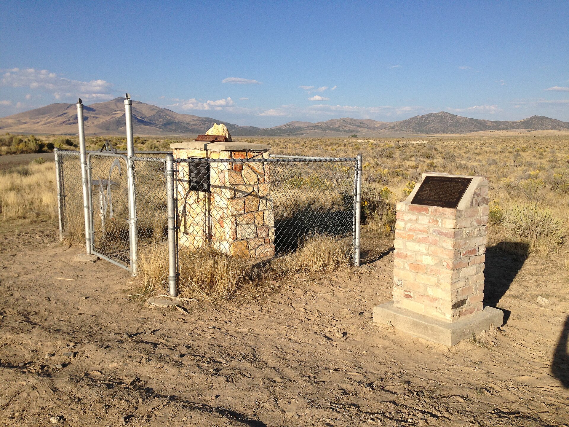
A stone monument and plaques stand at the townsite in memory of the settlers. According to one account, a plaque was placed in 1975 by the fraternal group E Clampus Vitus. Descendants of the pioneers still care for the cemetery on the hill north of town, and some accounts say they hold a reunion picnic every Labor Day.
Timeline
Historic sites nearby
Further reading
Sources
Wikipedia — Metropolis, Nevada
Travel Nevada — The Metropolis That Wasn’t
Nevada Expeditions — Metropolis; Bishop Creek Dam
Humboldt River Basin Water Authority — Humboldt River Chronology (2020)
Forgotten Nevada — Metropolis
The Historical Marker Database — Remember Metropolis
Utah Historical Quarterly — Volume 50, Number 1 (1982)
Photos: Lincoln School arch, hotel ruins, monument and Bishop Creek by Famartin, CC BY-SA 4.0. Aerial view by Mobilus In Mobili, CC BY-SA 2.0. All via Wikimedia Commons.